


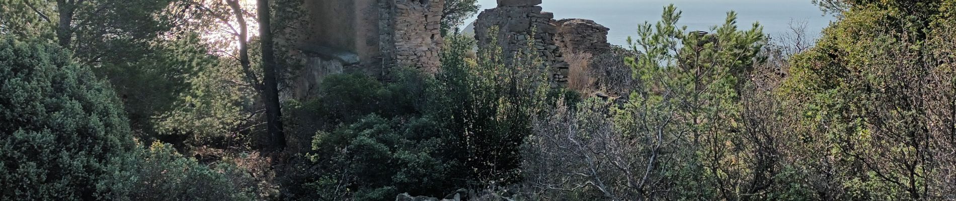
Sémaphore bec de l'Aigle, la Ciotat, 04-10-23

Christiancordin
Gebruiker


3h53
Moeilijkheid : Medium

Gratisgps-wandelapplicatie
 SityTrail
IGN / Geografische instituten
SityTrail Plus
De wereld gaat voor u open
Over ons
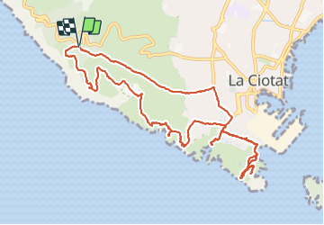
Tocht Stappen van 13 km beschikbaar op Provence-Alpes-Côte d'Azur, Bouches-du-Rhône, La Ciotat. Deze tocht wordt voorgesteld door Christiancordin.
Beschrijving
PK rte des crêtes (sémaphore bec de l'Aigle), chapelle ruinée de Ste Croix, anses du grand et petit Mugel, parc du Mugel, anse de Figuerolles, chapelle ND de la Garde, sémaphore du bec de l'Aigle (sentier avec passages délicats, prudence).
Foto's


Plaatsbepaling
Opmerkingen