


Capesterre

sameja
Gebruiker
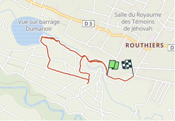

Lengte
3,6 km

Max. hoogte
230 m

Positief hoogteverschil
60 m
Km-Effort
4,5 km

Min. hoogte
168 m

Negatief hoogteverschil
70 m
Boucle
Neen
Datum van aanmaak :
2023-10-05 17:19:53.0
Laatste wijziging :
2023-10-05 18:19:18.716
48m
Moeilijkheid : Medium

Gratisgps-wandelapplicatie
 SityTrail
IGN / Geografische instituten
SityTrail Plus
De wereld gaat voor u open
Over ons
Tocht Trail van 3,6 km beschikbaar op Guadeloupe, Onbekend, Capesterre-Belle-Eau. Deze tocht wordt voorgesteld door sameja.
Beschrijving
L boucle des escaliers
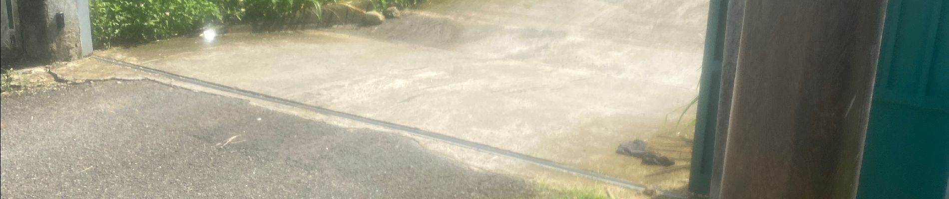
Foto's


Plaatsbepaling
Land:
France
Regio :
Guadeloupe
Departement/Provincie :
Onbekend
Gemeente :
Capesterre-Belle-Eau
Locatie:
Unknown
Vertrek:(Dec)
Vertrek:(UTM)
649822 ; 1773574 (20Q) N.
Opmerkingen