


Saint-Martin-le-Beau - PR Entre Vignes et Forêts - 11.8km 120m 2h45 (45mn) - 2023 10 07

Orcal37
Gebruiker GUIDE
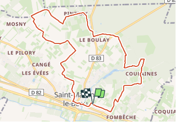

Lengte
11,8 km

Max. hoogte
114 m

Positief hoogteverschil
123 m
Km-Effort
13,4 km

Min. hoogte
57 m

Negatief hoogteverschil
123 m
Boucle
Ja
Datum van aanmaak :
2023-10-07 09:36:27.56
Laatste wijziging :
2023-10-08 13:04:54.921
2h45
Moeilijkheid : Medium

Gratisgps-wandelapplicatie
 SityTrail
IGN / Geografische instituten
SityTrail Plus
De wereld gaat voor u open
Over ons
Tocht Stappen van 11,8 km beschikbaar op Centre-Val de Loire, Indre-et-Loire, Saint-Martin-le-Beau. Deze tocht wordt voorgesteld door Orcal37.
Beschrijving
Saint-Martin-le-Beau - PR Entre Vignes et Forêts - dans le sens inverse du balisage - 11.8km 120m 2h45 (45mn) - 2023 10 07
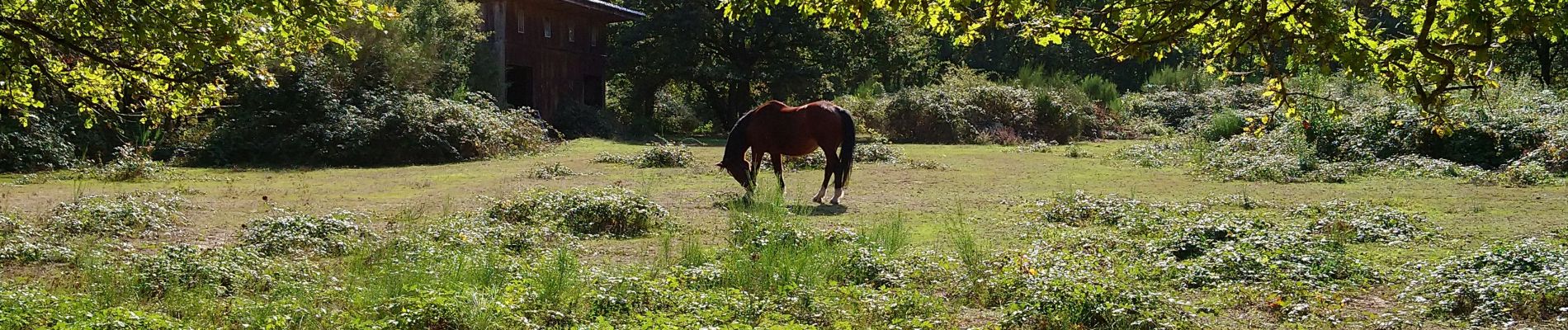
Foto's
 - 2023 10 07 - Photo 1")
 - 2023 10 07 - Photo 2")
 - 2023 10 07 - Photo 3")
 - 2023 10 07 - Photo 4")
 - 2023 10 07 - Photo 5")
 - 2023 10 07 - Photo 6")
 - 2023 10 07 - Photo 7")
 - 2023 10 07 - Photo 8")
Plaatsbepaling
Land:
France
Regio :
Centre-Val de Loire
Departement/Provincie :
Indre-et-Loire
Gemeente :
Saint-Martin-le-Beau
Locatie:
Unknown
Vertrek:(Dec)
Vertrek:(UTM)
342560 ; 5246739 (31T) N.
Opmerkingen