


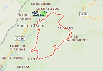


10,7 km | 13,9 km-effort


Gebruiker


Gratisgps-wandelapplicatie
 SityTrail
IGN / Geografische instituten
SityTrail World
De wereld gaat voor u open
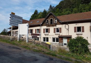
Tocht Stappen van 8,4 km beschikbaar op Bourgondië-Franche-Comté, Haute-Saône, Haut-du-Them-Château-Lambert. Deze tocht wordt voorgesteld door Emmanuel Remy.
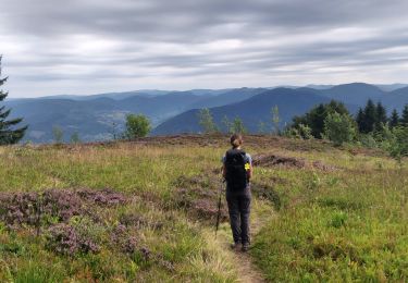
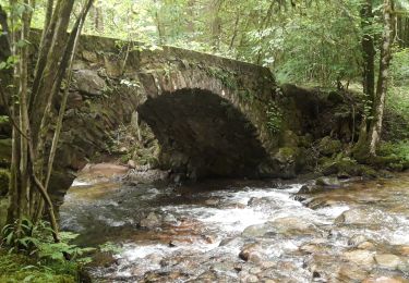
Se hisser jusqu'à la croix de la Chaume demande un petit effort. Mais la récompense est immédiate, avec une vue splendide sur le Haut-du-Them et les sommets environnants.

Stappen

Te voet
Stappen

Stappen
Stappen
Stappen
Stappen
Stappen
Stappen