


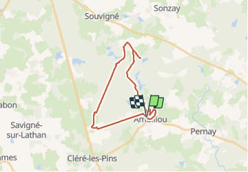
Ambillou - GRP Castelvalérie Château Champchevrier - 23.2km 165m 5h10 (30mn) - 2023 11 08

Orcal37
Gebruiker GUIDE

Lengte
23 km

Max. hoogte
121 m

Positief hoogteverschil
166 m
Km-Effort
25 km

Min. hoogte
87 m

Negatief hoogteverschil
166 m
Boucle
Ja
Datum van aanmaak :
2023-11-08 08:52:09.964
Laatste wijziging :
2023-11-12 15:30:05.396
5h10
Moeilijkheid : Gemakkelijk

Gratisgps-wandelapplicatie
 SityTrail
IGN / Geografische instituten
SityTrail Plus
De wereld gaat voor u open
Over ons
Tocht Stappen van 23 km beschikbaar op Centre-Val de Loire, Indre-et-Loire, Ambillou. Deze tocht wordt voorgesteld door Orcal37.
Beschrijving
Ambillou - GRP Castelvalérie - Château de Champchevrier - PR et routes - 23.2km 165m 5h10 (30mn) - 2023 11 08
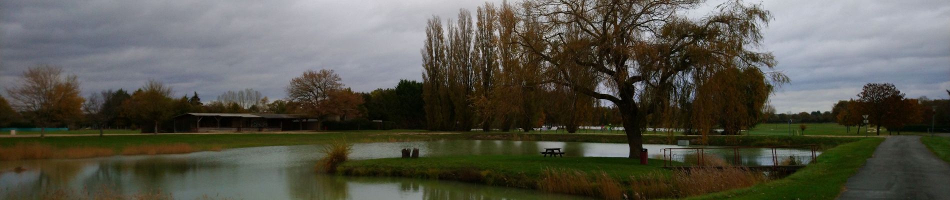
Foto's
 - 2023 11 08 - Photo 1")
 - 2023 11 08 - Photo 2")
 - 2023 11 08 - Photo 3")
 - 2023 11 08 - Photo 4")
 - 2023 11 08 - Photo 5")
 - 2023 11 08 - Photo 6")
 - 2023 11 08 - Photo 7")
Plaatsbepaling
Land:
France
Regio :
Centre-Val de Loire
Departement/Provincie :
Indre-et-Loire
Gemeente :
Ambillou
Locatie:
Unknown
Vertrek:(Dec)
Vertrek:(UTM)
307222 ; 5258696 (31T) N.
Opmerkingen