


20231115 Île Tudi

Childebert
Gebruiker


Lengte
4,1 km

Max. hoogte
10 m

Positief hoogteverschil
29 m
Km-Effort
4,5 km

Min. hoogte
0 m

Negatief hoogteverschil
29 m
Boucle
Ja
Datum van aanmaak :
2023-11-15 12:27:57.664
Laatste wijziging :
2023-11-16 14:53:52.8
1h10
Moeilijkheid : Gemakkelijk

Gratisgps-wandelapplicatie
 SityTrail
IGN / Geografische instituten
SityTrail Plus
De wereld gaat voor u open
Over ons
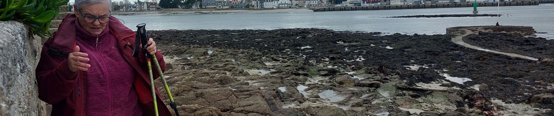
Tocht Stappen van 4,1 km beschikbaar op Bretagne, Finistère, Île-Tudy. Deze tocht wordt voorgesteld door Childebert.
Foto's

Plaatsbepaling
Land:
France
Regio :
Bretagne
Departement/Provincie :
Finistère
Gemeente :
Île-Tudy
Locatie:
Unknown
Vertrek:(Dec)
Vertrek:(UTM)
413459 ; 5300497 (30T) N.
Opmerkingen