


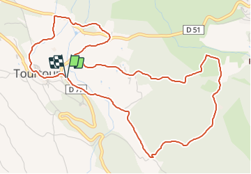

17,6 km | 24 km-effort


Gebruiker


Gratisgps-wandelapplicatie
 SityTrail
IGN / Geografische instituten
SityTrail World
De wereld gaat voor u open
Tocht Stappen van 6,8 km beschikbaar op Provence-Alpes-Côte d'Azur, Var, Tourtour. Deze tocht wordt voorgesteld door felix83.
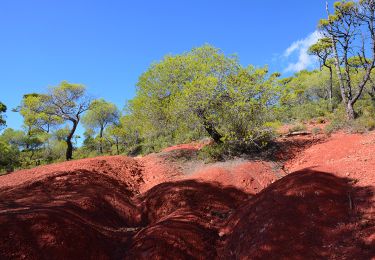
Petite rando d'environ 8 KM facile. Quelques montées mais bien étalées. Je l'ai faite en 1h30 lors de la reco mais j'ai prévu 2h15 de marche pour mon groupe. Pas de difficulté. Il y a 300m sur la départementale le reste sur les pistes ou chemins.
Grand parking à droite juste après le panneau "Tourtour"
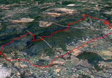
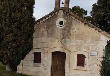
Le retour avec la vue sur le village "dans le ciel" est très poétique.
Stappen

Stappen

Andere activiteiten

Mountainbike
Mountainbike
Stappen
Stappen
Stappen
Stappen