


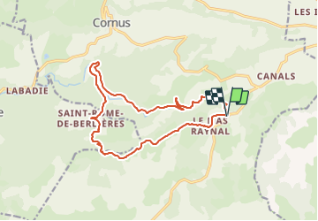
Plateau de Guilhaumard La Sorgues

ARVIEU
Gebruiker

Lengte
16,8 km

Max. hoogte
836 m

Positief hoogteverschil
455 m
Km-Effort
23 km

Min. hoogte
525 m

Negatief hoogteverschil
455 m
Boucle
Ja
Datum van aanmaak :
2023-11-23 21:21:13.096
Laatste wijziging :
2023-11-23 21:27:21.299
5h00
Moeilijkheid : Medium

Gratisgps-wandelapplicatie
 SityTrail
IGN / Geografische instituten
SityTrail Plus
De wereld gaat voor u open
Over ons
Tocht Stappen van 16,8 km beschikbaar op Occitanië, Aveyron, Cornus. Deze tocht wordt voorgesteld door ARVIEU.
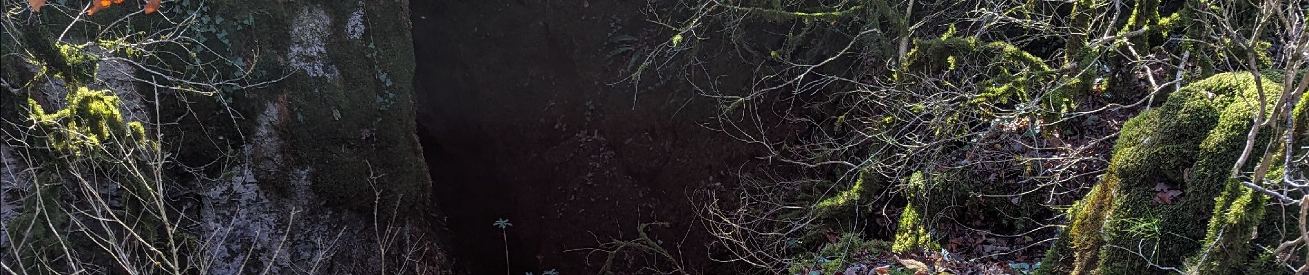
Foto's


Plaatsbepaling
Land:
France
Regio :
Occitanië
Departement/Provincie :
Aveyron
Gemeente :
Cornus
Locatie:
Unknown
Vertrek:(Dec)
Vertrek:(UTM)
517987 ; 4858038 (31T) N.
Opmerkingen