


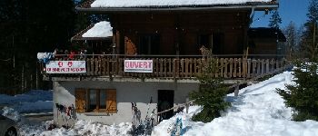
Chalet Haute Joux

albert39
Gebruiker
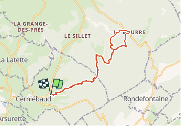

Lengte
20 km

Max. hoogte
1098 m

Positief hoogteverschil
348 m
Km-Effort
25 km

Min. hoogte
961 m

Negatief hoogteverschil
349 m
Boucle
Ja
Datum van aanmaak :
2015-02-20 00:00:00.0
Laatste wijziging :
2015-02-20 00:00:00.0
5h42
Moeilijkheid : Medium

Gratisgps-wandelapplicatie
 SityTrail
IGN / Geografische instituten
SityTrail Plus
De wereld gaat voor u open
Over ons
Tocht Sneeuwschoenen van 20 km beschikbaar op Bourgondië-Franche-Comté, Jura, Cerniébaud. Deze tocht wordt voorgesteld door albert39.
Beschrijving
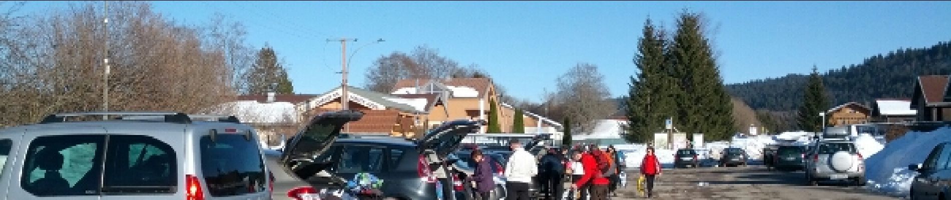
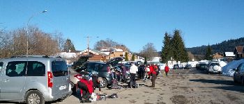
Sortie journée RSGD, ensoleillée et sympas. Repas tiré du sac avec bol de soupe au chalet de la Bourre.
Foto's


Plaatsbepaling
Land:
France
Regio :
Bourgondië-Franche-Comté
Departement/Provincie :
Jura
Gemeente :
Cerniébaud
Locatie:
Unknown
Vertrek:(Dec)
Vertrek:(UTM)
279718 ; 5179716 (32T) N.
Opmerkingen