


Signes Les Armaris

Yot
Gebruiker


Lengte
15,4 km

Max. hoogte
746 m

Positief hoogteverschil
538 m
Km-Effort
23 km

Min. hoogte
329 m

Negatief hoogteverschil
537 m
Boucle
Ja
Datum van aanmaak :
2023-11-30 08:15:25.27
Laatste wijziging :
2023-11-30 14:43:42.983
4h32
Moeilijkheid : Medium

Gratisgps-wandelapplicatie
 SityTrail
IGN / Geografische instituten
SityTrail Plus
De wereld gaat voor u open
Over ons
Tocht Stappen van 15,4 km beschikbaar op Provence-Alpes-Côte d'Azur, Var, Signes. Deze tocht wordt voorgesteld door Yot.
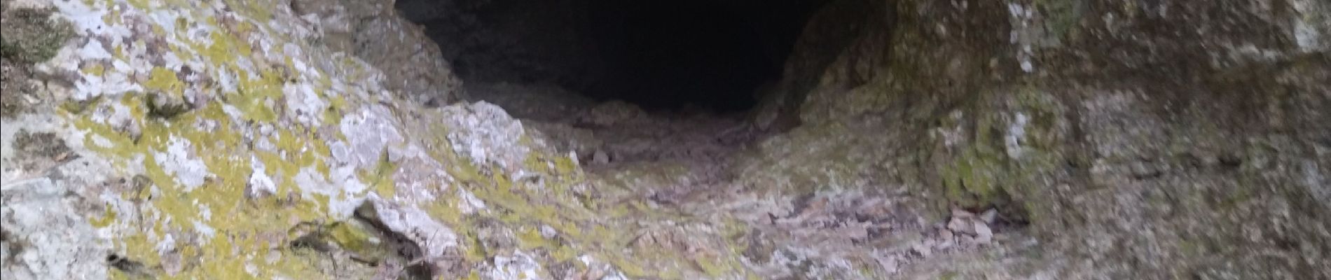
Foto's

Plaatsbepaling
Land:
France
Regio :
Provence-Alpes-Côte d'Azur
Departement/Provincie :
Var
Gemeente :
Signes
Locatie:
Unknown
Vertrek:(Dec)
Vertrek:(UTM)
732105 ; 4796925 (31T) N.
Opmerkingen