


Ira

sameja
Gebruiker
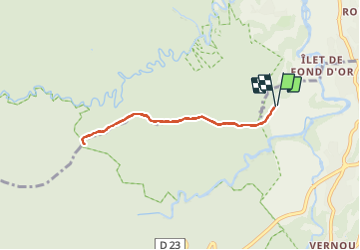

Lengte
8,3 km

Max. hoogte
343 m

Positief hoogteverschil
222 m
Km-Effort
11,3 km

Min. hoogte
146 m

Negatief hoogteverschil
222 m
Boucle
Ja
Datum van aanmaak :
2024-01-07 11:30:31.0
Laatste wijziging :
2024-01-07 12:44:30.806
1h09
Moeilijkheid : Medium

Gratisgps-wandelapplicatie
 SityTrail
IGN / Geografische instituten
SityTrail Plus
De wereld gaat voor u open
Over ons
Tocht Lopen van 8,3 km beschikbaar op Guadeloupe, Onbekend, Petit-Bourg. Deze tocht wordt voorgesteld door sameja.
Beschrijving
La boucle
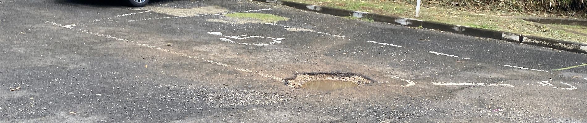
Foto's


Plaatsbepaling
Land:
France
Regio :
Guadeloupe
Departement/Provincie :
Onbekend
Gemeente :
Petit-Bourg
Locatie:
Unknown
Vertrek:(Dec)
Vertrek:(UTM)
642625 ; 1792020 (20Q) N.
Opmerkingen