


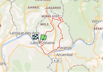

10,7 km | 13,9 km-effort

Gebruiker


Gratisgps-wandelapplicatie
 SityTrail
IGN / Geografische instituten
SityTrail World
De wereld gaat voor u open
Tocht Stappen van 12,7 km beschikbaar op Occitanië, Lot, Lamagdelaine. Deze tocht wordt voorgesteld door houbart.
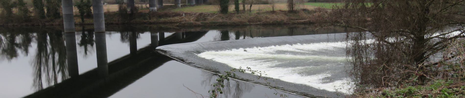
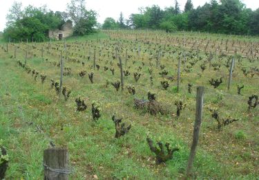
 - Photo 1")
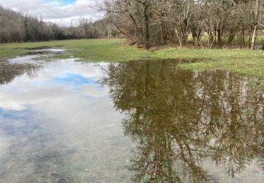
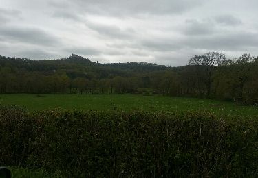
 - Photo 2")
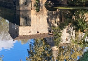
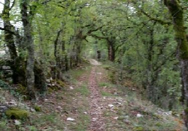
 - Photo 3")
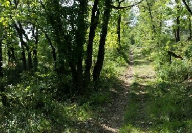
 - Photo 4")

Stappen
Stappen
Stappen

Stappen

Stappen
Motor
Stappen
Stappen