


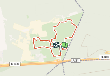

18,7 km | 24 km-effort


Gebruiker


Gratisgps-wandelapplicatie
 SityTrail
IGN / Geografische instituten
SityTrail World
De wereld gaat voor u open
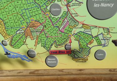
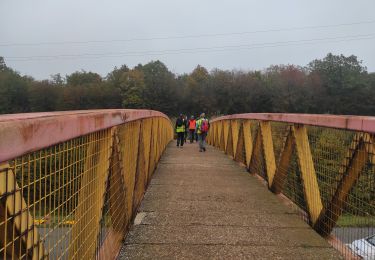
Tocht Stappen van 8,6 km beschikbaar op Grand Est, Meurthe-et-Moselle, Bois-de-Haye. Deze tocht wordt voorgesteld door DanielROLLET.
2024 04 04 - Sortie ATC - 6 participants - 9h05 à 11h25
Pluie continue
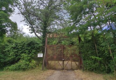
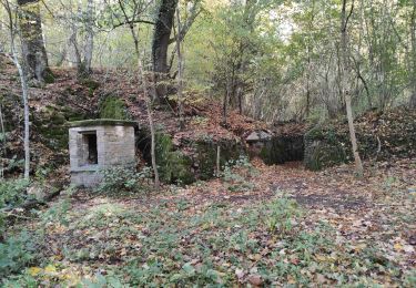
Parcouru 8,5km au lieu de 11,050! Pluie 3 grosses erreurs sentiers qui n'existent pas... pas fait de reco.
Sinon bonne humeur quand même

Te voet

Te voet

Stappen
Te voet

Te voet
Stappen
Stappen
Stappen
Stappen