


Balade entre Calvisson et Aigues Vives

kephas
Gebruiker
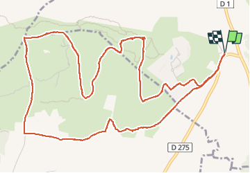

Lengte
8 km

Max. hoogte
85 m

Positief hoogteverschil
116 m
Km-Effort
9,6 km

Min. hoogte
30 m

Negatief hoogteverschil
116 m
Boucle
Ja
Datum van aanmaak :
2024-04-19 10:14:46.0
Laatste wijziging :
2024-04-19 15:02:55.766

Gratisgps-wandelapplicatie
 SityTrail
IGN / Geografische instituten
SityTrail Plus
De wereld gaat voor u open
Over ons
Tocht van 8 km beschikbaar op Occitanië, Gard, Calvisson. Deze tocht wordt voorgesteld door kephas.
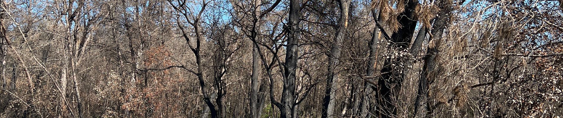
Foto's


Plaatsbepaling
Land:
France
Regio :
Occitanië
Departement/Provincie :
Gard
Gemeente :
Calvisson
Locatie:
Unknown
Vertrek:(Dec)
Vertrek:(UTM)
596694 ; 4845983 (31T) N.
Opmerkingen