Tocht Stappen Saint-Lumine-de-Clisson - Maisdon La Fourère - Photo
 Bernard S
Bernard S

Gebruiker

© OpenStreetMap contributors
Lengte
Lengte
11,6 km
Max. hoogte
Max. hoogte
56 m
Positief hoogteverschil
175 m
Km-Effort
Km-Effort  
13,9 km
Min. hoogte
Min. hoogte
8 m
Negatief hoogteverschil
174 m
Boucle
Boucle
Ja
Datum van aanmaak :
2024-04-20 06:35:10.0
Laatste wijziging :
2024-04-20 09:57:33.861

(0 Bericht)

Stappen
Stappen
3h21
Moeilijkheid : Gemakkelijk

Scan deze QR-code om de tocht te openen in de SityTrail-applicatie

Gratisgps-wandelapplicatie

Logo SityTrail SityTrail

IGN / Geografische instituten

SityTrail uit de App Store downloaden SityTrail uit Google Play downloaden

Logo SityTrail SityTrail World

De wereld gaat voor u open

SityTrail uit de App Store downloaden SityTrail uit Google Play downloaden SityTrail op Huawei AppGallery downloaden

Over ons

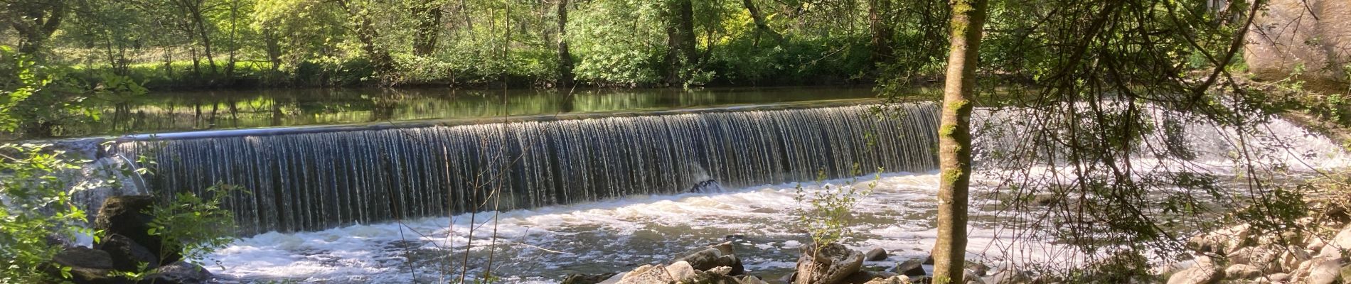
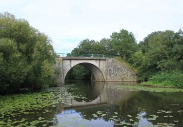
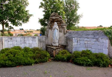
Tocht Stappen van 11,6 km beschikbaar op Pays de la Loire, Loire-Atlantique, Saint-Lumine-de-Clisson. Deze tocht wordt voorgesteld door Bernard S.

Beschrijving

La Fourère groupe Marie claude

Hoogteprofiel

Foto's

Plaatsbepaling

Land:
France
Regio :
Pays de la Loire
Departement/Provincie :
Loire-Atlantique
Gemeente :
Saint-Lumine-de-Clisson
Locatie:
Unknown
Vertrek:(Dec)
Vertrek:(UTM)
622213 ; 5215150 (30T) N.

Wandeltochten in de omgeving

Tocht Te voet Remouillé - Entre Maine et Gorgeat - Photo
Te voet
PRO

Te voet

Gemakkelijk
Remouillé, Pays de la Loire, Loire-Atlantique, France
9,4 km | 10,4 km-effort
2h 21min
Ja
Tocht Te voet Château-Thébaud - Le Bois Joly - Photo
Te voet
PRO

Te voet

Gemakkelijk
Château-Thébaud, Pays de la Loire, Loire-Atlantique, France
6,9 km | 8,2 km-effort
1h 51min
Ja
Tocht Te voet Château-Thébaud - Entre Bourg et Maine - Photo
Te voet
PRO

Te voet

Gemakkelijk
Château-Thébaud, Pays de la Loire, Loire-Atlantique, France
5,9 km | 7 km-effort
1h 35min
Neen
Tocht Stappen Maisdon-sur-Sèvre - Maisdon_Route de la soif - Photo
Stappen
neoroll44

Stappen

Medium
(1)
Maisdon-sur-Sèvre, Pays de la Loire, Loire-Atlantique, France
13,8 km | 16,1 km-effort
3h 30min
Ja
Tocht Te voet Saint-Lumine-de-Clisson - Circuit des Coteaux Luminais - Photo
Te voet
PRO

Te voet

Gemakkelijk
Saint-Lumine-de-Clisson, Pays de la Loire, Loire-Atlantique, France
4,6 km | 5,3 km-effort
1h 12min
Ja
Tocht Stappen Aigrefeuille-sur-Maine - Aigrefeuille sur Maine - Photo
Stappen
PatrickMatuszewski

Stappen

Gemakkelijk
(1)
Aigrefeuille-sur-Maine, Pays de la Loire, Loire-Atlantique, France
10,1 km | 11,4 km-effort
2h 36min
Ja
Tocht sport Saint-Lumine-de-Clisson - 2023-03-12_09h35m43_SityTrail - 3559870 - la-chambaudiere-01x03x23-axm (2) - Photo
sport
cyrillerandonneur

sport

Heel gemakkelijk
Saint-Lumine-de-Clisson, Pays de la Loire, Loire-Atlantique, France
7 km | 8,2 km-effort
Onbekend
Ja
Tocht Stappen Remouillé - Entre Maine et Gorgeat - Photo
Stappen
neoroll44

Stappen

Medium
Remouillé, Pays de la Loire, Loire-Atlantique, France
9,3 km | 10,4 km-effort
2h 17min
Ja
Tocht Stappen Monnières - Monnières - sud-est pique-nique - Photo
Stappen
TEFFRA

Stappen

Medium
Monnières, Pays de la Loire, Loire-Atlantique, France
8,2 km | 9,1 km-effort
2h 1min
Ja


Sluiten
Mijn abonnementen