


Vence 06

papajp
Gebruiker
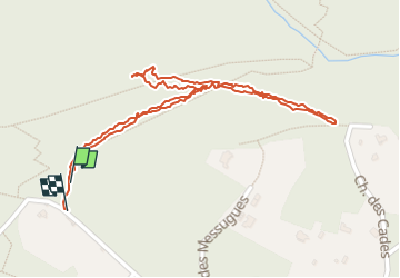

Lengte
1,4 km

Max. hoogte
298 m

Positief hoogteverschil
72 m
Km-Effort
2,4 km

Min. hoogte
243 m

Negatief hoogteverschil
71 m
Boucle
Ja
Datum van aanmaak :
2024-04-30 13:08:52.0
Laatste wijziging :
2024-04-30 13:56:08.867

Gratisgps-wandelapplicatie
 SityTrail
IGN / Geografische instituten
SityTrail Plus
De wereld gaat voor u open
Over ons
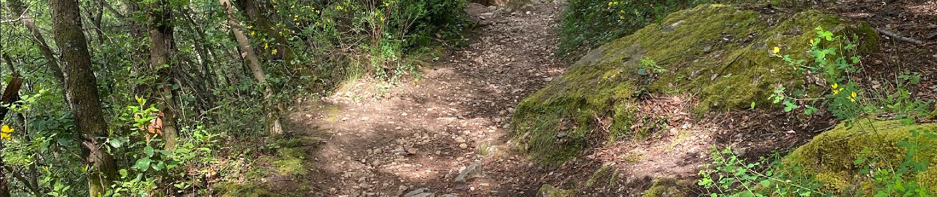
Tocht van 1,4 km beschikbaar op Provence-Alpes-Côte d'Azur, Alpes-Maritimes, Vence. Deze tocht wordt voorgesteld door papajp.
Foto's


Plaatsbepaling
Land:
France
Regio :
Provence-Alpes-Côte d'Azur
Departement/Provincie :
Alpes-Maritimes
Gemeente :
Vence
Locatie:
Unknown
Vertrek:(Dec)
Vertrek:(UTM)
346910 ; 4841813 (32T) N.
Opmerkingen