


IRA

sameja
Gebruiker
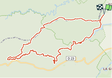

Lengte
20 km

Max. hoogte
438 m

Positief hoogteverschil
446 m
Km-Effort
26 km

Min. hoogte
122 m

Negatief hoogteverschil
447 m
Boucle
Ja
Datum van aanmaak :
2024-05-12 10:30:17.0
Laatste wijziging :
2024-05-12 16:20:54.469
4h55
Moeilijkheid : Moeilijk

Gratisgps-wandelapplicatie
 SityTrail
IGN / Geografische instituten
SityTrail Plus
De wereld gaat voor u open
Over ons
Tocht Trail van 20 km beschikbaar op Guadeloupe, Onbekend, Petit-Bourg. Deze tocht wordt voorgesteld door sameja.
Beschrijving
La boucle des mamelles
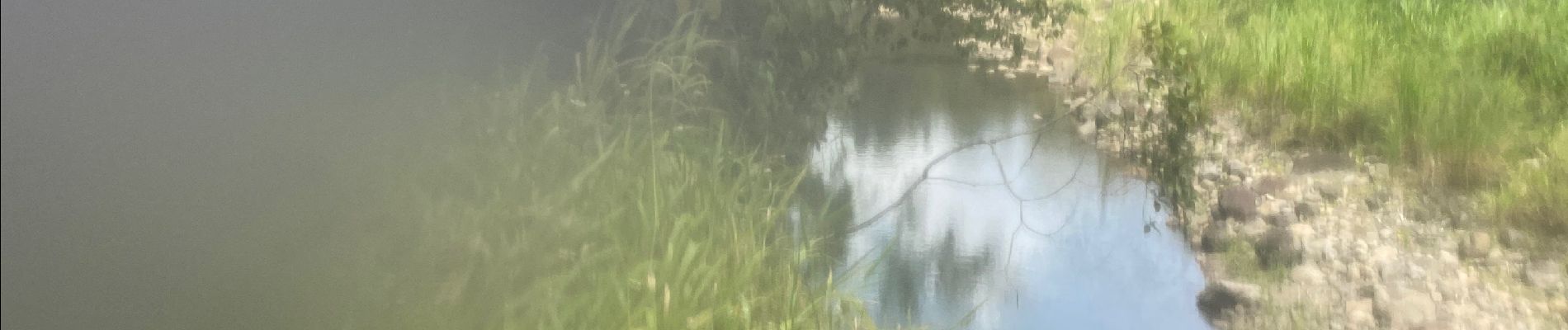
Foto's


Plaatsbepaling
Land:
France
Regio :
Guadeloupe
Departement/Provincie :
Onbekend
Gemeente :
Petit-Bourg
Locatie:
Unknown
Vertrek:(Dec)
Vertrek:(UTM)
642634 ; 1792022 (20Q) N.
Opmerkingen