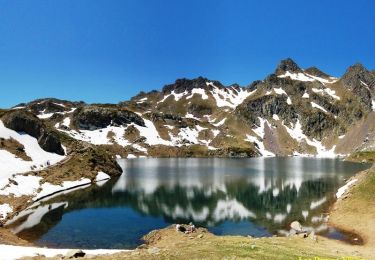
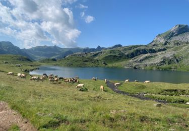
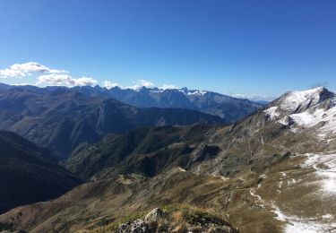
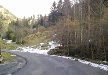
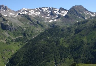
15,5 km | 25 km-effort
refuge d'Ayous
lablaquiere
Gebruiker
Lengte
13 km
Max. hoogte
1973 m
Positief hoogteverschil
640 m
Km-Effort
22 km
Min. hoogte
1411 m
Negatief hoogteverschil
637 m
Boucle
Ja
Datum van aanmaak :
2024-05-08 08:10:16.983
Laatste wijziging :
2024-05-12 16:41:21.631
3h42
Moeilijkheid : Zeer moeilijk
Gratisgps-wandelapplicatie
Over ons
Tocht Stappen van 13 km beschikbaar op Nieuw-Aquitanië, Pyrénées-Atlantiques, Laruns. Deze tocht wordt voorgesteld door lablaquiere.
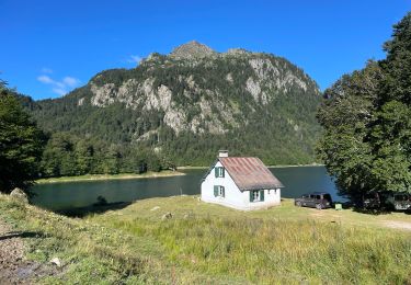
Plaatsbepaling
Land:
France
Regio :
Nieuw-Aquitanië
Departement/Provincie :
Pyrénées-Atlantiques
Gemeente :
Laruns
Locatie:
Unknown
Vertrek:(Dec)
Vertrek:(UTM)
708463 ; 4749367 (30T) N.
Opmerkingen
Wandeltochten in de omgeving
Ossau : Tour des lacs d’Ayous
Stappen
Medium
(1)
Laruns,
Nieuw-Aquitanië,
Pyrénées-Atlantiques,
France
4h 49min
Ja
Tour des Lacs d'Ayous en boucle depuis Bious-Artigues
Stappen
Medium
(4)
Laruns,
Nieuw-Aquitanië,
Pyrénées-Atlantiques,
France
14,1 km | 24 km-effort
5h 30min
Ja
Tour des Lacs d'Ayous + Pic des Moines (2349m)
Stappen
Moeilijk
(1)
Laruns,
Nieuw-Aquitanië,
Pyrénées-Atlantiques,
France
15 km | 27 km-effort
5h 30min
Ja
chemin des fenetres
Stappen
Gemakkelijk
(1)
Laruns,
Nieuw-Aquitanië,
Pyrénées-Atlantiques,
France
8 km | 14,1 km-effort
3h 0min
Neen
Gabas Etsaut
sport
Heel gemakkelijk
Laruns,
Nieuw-Aquitanië,
Pyrénées-Atlantiques,
France
26 km | 44 km-effort
Onbekend
Neen
Lac d’Aule et Col du Turin Garié
Stappen
Moeilijk
Laruns,
Nieuw-Aquitanië,
Pyrénées-Atlantiques,
France
11,7 km | 25 km-effort
5h 37min
Ja
Voie d'OssauB
Te voet
Medium
Laruns,
Nieuw-Aquitanië,
Pyrénées-Atlantiques,
France
14,1 km | 24 km-effort
5h 32min
Neen
Vallon du Soussouéou
Te voet
Medium
Laruns,
Nieuw-Aquitanië,
Pyrénées-Atlantiques,
France
13,7 km | 26 km-effort
5h 51min
Ja
GR 10 - U
Stappen
Zeer moeilijk
(1)
Laruns,
Nieuw-Aquitanië,
Pyrénées-Atlantiques,
France
12,9 km | 26 km-effort
5h 1min
Neen