


Boucle 8km

Vadim
Gebruiker
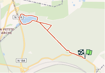

Lengte
8,2 km

Max. hoogte
58 m

Positief hoogteverschil
65 m
Km-Effort
9 km

Min. hoogte
22 m

Negatief hoogteverschil
67 m
Boucle
Ja
Datum van aanmaak :
2024-05-12 08:52:19.0
Laatste wijziging :
2024-05-18 09:30:37.152
1h27
Moeilijkheid : Medium

Gratisgps-wandelapplicatie
 SityTrail
IGN / Geografische instituten
SityTrail Plus
De wereld gaat voor u open
Over ons
Tocht Stappen van 8,2 km beschikbaar op Île-de-France, Yvelines, Saint-Germain-en-Laye. Deze tocht wordt voorgesteld door Vadim.
Beschrijving
Petit entraînement interessant !
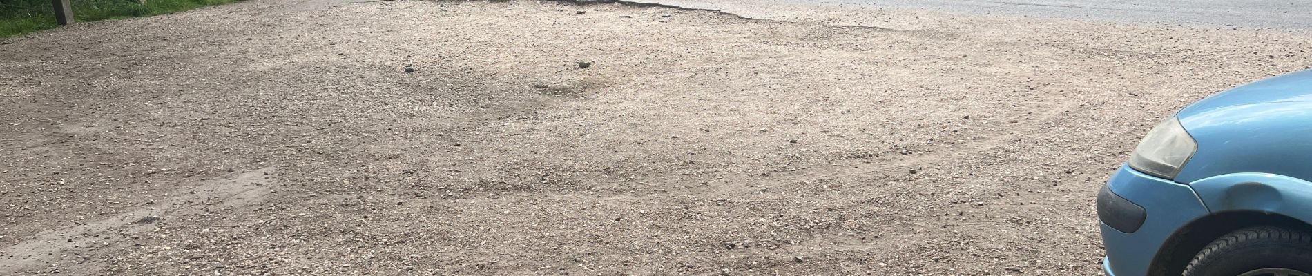
Foto's


Plaatsbepaling
Land:
France
Regio :
Île-de-France
Departement/Provincie :
Yvelines
Gemeente :
Saint-Germain-en-Laye
Locatie:
Saint-Germain-en-Laye
Vertrek:(Dec)
Vertrek:(UTM)
436142 ; 5423534 (31U) N.
Opmerkingen