


mesnil - Vendeuil

alainwald
Gebruiker
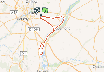

Lengte
46 km

Max. hoogte
124 m

Positief hoogteverschil
279 m
Km-Effort
49 km

Min. hoogte
51 m

Negatief hoogteverschil
279 m
Boucle
Ja
Datum van aanmaak :
2024-05-18 12:58:07.308
Laatste wijziging :
2024-05-18 17:00:41.408
4h01
Moeilijkheid : Gemakkelijk

Gratisgps-wandelapplicatie
 SityTrail
IGN / Geografische instituten
SityTrail Plus
De wereld gaat voor u open
Over ons
Tocht Mountainbike van 46 km beschikbaar op Hauts-de-France, Aisne, Mesnil-Saint-Laurent. Deze tocht wordt voorgesteld door alainwald.
Beschrijving
chemin roulant et canal
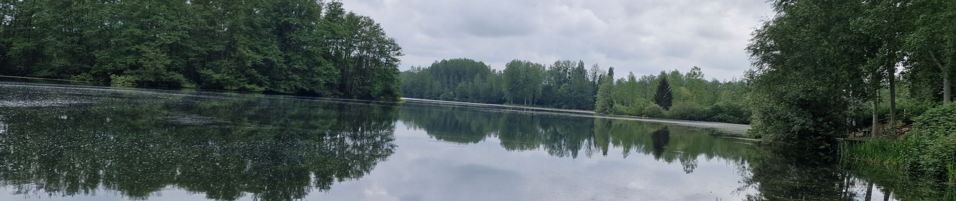
Foto's

Plaatsbepaling
Land:
France
Regio :
Hauts-de-France
Departement/Provincie :
Aisne
Gemeente :
Mesnil-Saint-Laurent
Locatie:
Unknown
Vertrek:(Dec)
Vertrek:(UTM)
525826 ; 5519850 (31U) N.
Opmerkingen