


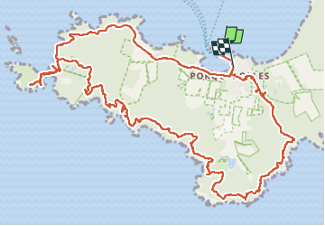
Ile de Porquerolles côté ouest 24-05-2024

Christiancordin
Gebruiker


5h02
Moeilijkheid : Medium

Gratisgps-wandelapplicatie
 SityTrail
IGN / Geografische instituten
SityTrail Plus
De wereld gaat voor u open
Over ons
Tocht Te voet van 17,3 km beschikbaar op Provence-Alpes-Côte d'Azur, Var, Hyères. Deze tocht wordt voorgesteld door Christiancordin.
Beschrijving
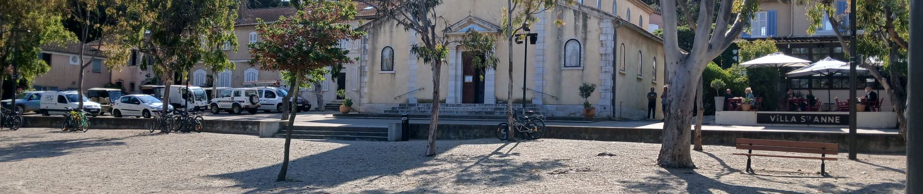
Départ capitainerie, château fort, moulin du bonheur, grand cale, pointe de l'indienne, phare de Porquerolles, rocher de la croix, gorges du loup, vallon de Fortuné, calanque du Bregançonnet, port Fay, fort du Langoustier, Porquerolles.
Foto's


Plaatsbepaling
Opmerkingen