


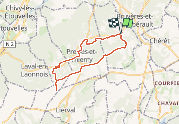
circuit uit d'équipe vendangeoirs

alainwald
Gebruiker

Lengte
13,2 km

Max. hoogte
180 m

Positief hoogteverschil
212 m
Km-Effort
16 km

Min. hoogte
76 m

Negatief hoogteverschil
212 m
Boucle
Ja
Datum van aanmaak :
2024-06-09 13:55:13.752
Laatste wijziging :
2024-06-22 17:21:14.286
3h49
Moeilijkheid : Medium

Gratisgps-wandelapplicatie
 SityTrail
IGN / Geografische instituten
SityTrail Plus
De wereld gaat voor u open
Over ons
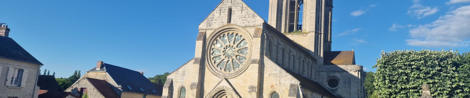
Tocht Stappen van 13,2 km beschikbaar op Hauts-de-France, Aisne, Vorges. Deze tocht wordt voorgesteld door alainwald.
Beschrijving
entre beaux villages, plaines et forets
Foto's


Plaatsbepaling
Land:
France
Regio :
Hauts-de-France
Departement/Provincie :
Aisne
Gemeente :
Vorges
Locatie:
Unknown
Vertrek:(Dec)
Vertrek:(UTM)
547427 ; 5485230 (31U) N.
Opmerkingen