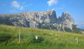
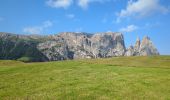
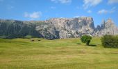
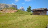
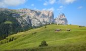
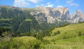
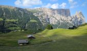
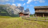
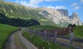
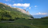
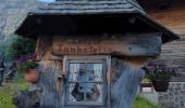
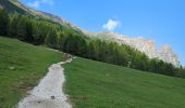
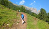
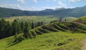
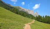
Tocht Stappen Kastelruth - Castelrotto - Schlern - Photo
 VacheKiri67
VacheKiri67

Gebruiker

© OpenStreetMap contributors
Lengte
Lengte
14,9 km
Max. hoogte
Max. hoogte
2548 m
Positief hoogteverschil
863 m
Km-Effort
Km-Effort  
26 km
Min. hoogte
Min. hoogte
1814 m
Negatief hoogteverschil
865 m
Boucle
Boucle
Ja
Datum van aanmaak :
2024-07-18 06:58:46.736
Laatste wijziging :
2024-08-01 14:04:05.923

(0 Bericht)

Stappen
Stappen
7h10
Moeilijkheid : Moeilijk

Scan deze QR-code om de tocht te openen in de SityTrail-applicatie

Gratisgps-wandelapplicatie

Logo SityTrail SityTrail

IGN / Geografische instituten

SityTrail uit de App Store downloaden SityTrail uit Google Play downloaden

Logo SityTrail SityTrail Plus

De wereld gaat voor u open

SityTrail uit de App Store downloaden SityTrail uit Google Play downloaden SityTrail op Huawei AppGallery downloaden

Over ons

Tocht Stappen van 14,9 km beschikbaar op Trento-Zuid-Tirol, Bolzano - Bozen, Kastelruth - Castelrotto. Deze tocht wordt voorgesteld door VacheKiri67.

Beschrijving

Faite le 18/07/2024.
D'après "Rother : Dolomiten 1 - 41 Schlern, 2564 m". Durée indiquée pour le circuit : 6h00. Parking gratuit à Spitzbühl. Attention la route d'accès est fermée de 9h à 17h.  Prendre le télésiège (8h30-17h).
Le Schlern est un sommet emblématique du Seiser Alm.
La randonnée est magnifique.
Il faut bien gérer sa montée dans la partie rude des lacets avec de hautes marches de pierre. La suite est beaucoup plus abordable. Bonnes chaussures indispensables.
https://www.seiseralm.it/de/aktivurlaub/sommerurlaub/wandern/geoeffnete-bergbahnen.html

Hoogteprofiel

Foto's

62 fotos in totaal. Klik op een foto om ze allemaal in de galerij weer te geven.

Plaatsbepaling

Land:
Italy
Regio :
Trento-Zuid-Tirol
Departement/Provincie :
Bolzano - Bozen
Gemeente :
Kastelruth - Castelrotto
Locatie:
Unknown
Vertrek:(UTM)
699407 ; 5156132 (32T) N.


Sluiten
Mijn abonnementen