


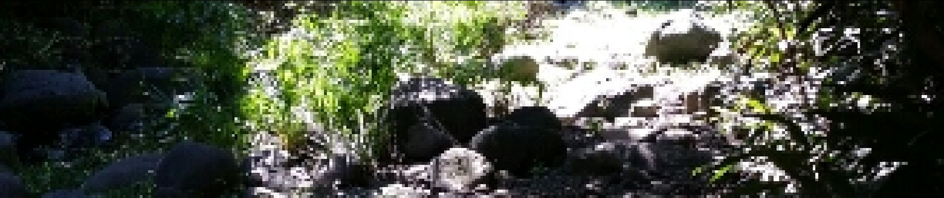
La cressoniere - Bassin Sassa

lgmalherbe
Gebruiker

Lengte
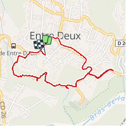
3,1 km

Max. hoogte
395 m

Positief hoogteverschil
63 m
Km-Effort
3,9 km

Min. hoogte
343 m

Negatief hoogteverschil
60 m
Boucle
Ja
Datum van aanmaak :
2019-05-01 15:04:30.057
Laatste wijziging :
2019-05-01 15:04:30.157
1h40
Moeilijkheid : Gemakkelijk

Gratisgps-wandelapplicatie
 SityTrail
IGN / Geografische instituten
SityTrail Plus
De wereld gaat voor u open
Over ons
Tocht Stappen van 3,1 km beschikbaar op Réunion, Onbekend, Entre-Deux. Deze tocht wordt voorgesteld door lgmalherbe.
Foto's


Plaatsbepaling
Land:
France
Regio :
Réunion
Departement/Provincie :
Onbekend
Gemeente :
Entre-Deux
Locatie:
Unknown
Vertrek:(Dec)
Vertrek:(UTM)
341133 ; 7649407 (40K) Z.
Opmerkingen