


Theneuil - la Samsonnière Lièze AM - 16.6km 275m 3h40 (1h05) - 2024 07 28

Orcal37
Gebruiker GUIDE
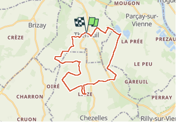

Lengte
16,6 km

Max. hoogte
110 m

Positief hoogteverschil
276 m
Km-Effort
20 km

Min. hoogte
37 m

Negatief hoogteverschil
277 m
Boucle
Ja
Datum van aanmaak :
2024-07-28 08:28:01.314
Laatste wijziging :
2024-07-29 20:37:46.101
3h40
Moeilijkheid : Gemakkelijk

Gratisgps-wandelapplicatie
 SityTrail
IGN / Geografische instituten
SityTrail Plus
De wereld gaat voor u open
Over ons
Tocht Stappen van 16,6 km beschikbaar op Centre-Val de Loire, Indre-et-Loire, Theneuil. Deze tocht wordt voorgesteld door Orcal37.
Beschrijving
Theneuil - PR jusqu'à la Samsonnière - Lièze - 16.6km 275m 3h40 (1h05) - 2024 07 28
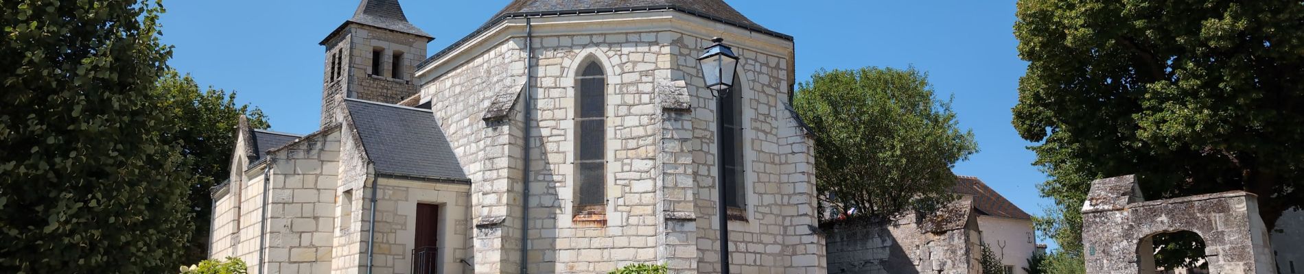
Foto's
 - 2024 07 28 - Photo 1")
 - 2024 07 28 - Photo 2")
 - 2024 07 28 - Photo 3")
 - 2024 07 28 - Photo 4")
 - 2024 07 28 - Photo 5")
 - 2024 07 28 - Photo 6")
 - 2024 07 28 - Photo 7")
 - 2024 07 28 - Photo 8")
 - 2024 07 28 - Photo 9")
 - 2024 07 28 - Photo 10")
Plaatsbepaling
Land:
France
Regio :
Centre-Val de Loire
Departement/Provincie :
Indre-et-Loire
Gemeente :
Theneuil
Locatie:
Unknown
Vertrek:(Dec)
Vertrek:(UTM)
305640 ; 5219204 (31T) N.
Opmerkingen