


Potter

rando30129
Gebruiker
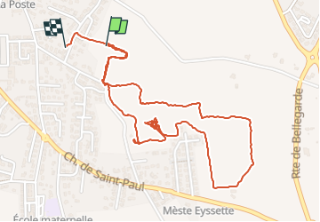

Lengte
3,3 km

Max. hoogte
63 m

Positief hoogteverschil
17 m
Km-Effort
3,5 km

Min. hoogte
52 m

Negatief hoogteverschil
16 m
Boucle
Ja
Datum van aanmaak :
2024-09-03 07:12:25.098
Laatste wijziging :
2024-09-03 08:29:32.027
1h16
Moeilijkheid : Gemakkelijk

Gratisgps-wandelapplicatie
 SityTrail
IGN / Geografische instituten
SityTrail Plus
De wereld gaat voor u open
Over ons
Tocht Stappen van 3,3 km beschikbaar op Occitanië, Gard, Manduel. Deze tocht wordt voorgesteld door rando30129.
Plaatsbepaling
Land:
France
Regio :
Occitanië
Departement/Provincie :
Gard
Gemeente :
Manduel
Locatie:
Unknown
Vertrek:(Dec)
Vertrek:(UTM)
618771 ; 4852396 (31T) N.
Opmerkingen