


(J2)-Gîte de la Roche Écrite - Dos d’Ane (fait)

GeorgesV.
Gebruiker
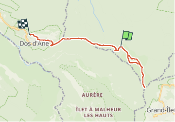

Lengte
18,4 km

Max. hoogte
2271 m

Positief hoogteverschil
568 m
Km-Effort
29 km

Min. hoogte
995 m

Negatief hoogteverschil
1424 m
Boucle
Neen
Datum van aanmaak :
2024-09-21 00:33:09.0
Laatste wijziging :
2024-09-21 10:24:38.879

Gratisgps-wandelapplicatie
 SityTrail
IGN / Geografische instituten
SityTrail Plus
De wereld gaat voor u open
Over ons
Tocht van 18,4 km beschikbaar op Réunion, Onbekend, Saint-Denis. Deze tocht wordt voorgesteld door GeorgesV..
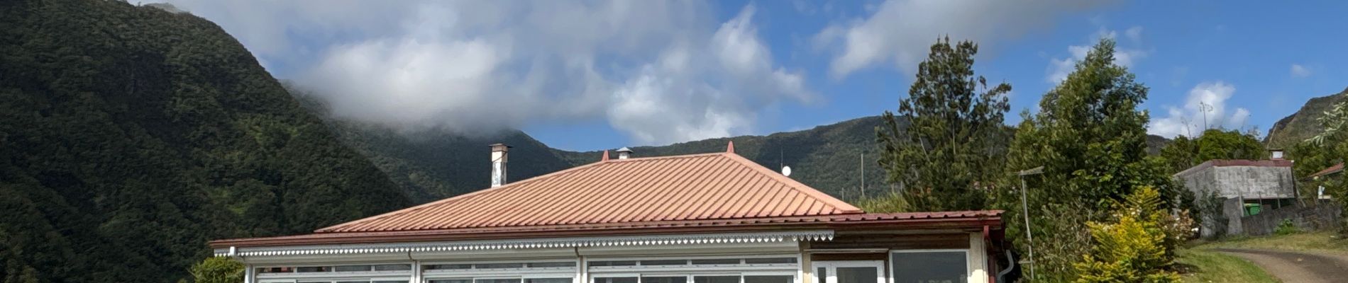
Foto's
-Gîte de la Roche Écrite - Dos d’Ane (fait) - Photo 1")
-Gîte de la Roche Écrite - Dos d’Ane (fait) - Photo 2")
-Gîte de la Roche Écrite - Dos d’Ane (fait) - Photo 3")
-Gîte de la Roche Écrite - Dos d’Ane (fait) - Photo 4")
Plaatsbepaling
Land:
France
Regio :
Réunion
Departement/Provincie :
Onbekend
Gemeente :
Saint-Denis
Locatie:
Unknown
Vertrek:(Dec)
Vertrek:(UTM)
338266 ; 7678399 (40K) Z.
Opmerkingen