


Bucey en Othe

FPortier
Gebruiker
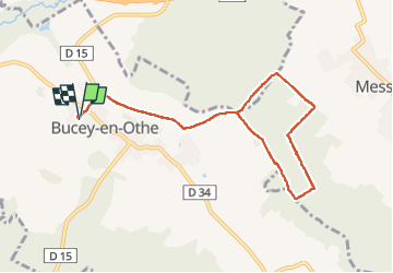

Lengte
8,5 km

Max. hoogte
243 m

Positief hoogteverschil
176 m
Km-Effort
10,9 km

Min. hoogte
146 m

Negatief hoogteverschil
176 m
Boucle
Ja
Datum van aanmaak :
2024-09-24 07:00:20.124
Laatste wijziging :
2024-09-24 09:33:17.845
2h32
Moeilijkheid : Medium

Gratisgps-wandelapplicatie
 SityTrail
IGN / Geografische instituten
SityTrail Plus
De wereld gaat voor u open
Over ons
Tocht Stappen van 8,5 km beschikbaar op Grand Est, Aube, Bucey-en-Othe. Deze tocht wordt voorgesteld door FPortier.
Beschrijving
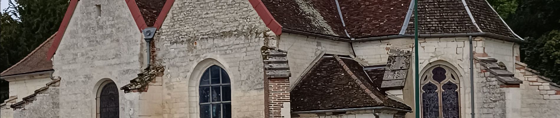
Randonnée club Bucey
Foto's

Plaatsbepaling
Land:
France
Regio :
Grand Est
Departement/Provincie :
Aube
Gemeente :
Bucey-en-Othe
Locatie:
Unknown
Vertrek:(Dec)
Vertrek:(UTM)
563856 ; 5345564 (31U) N.
Opmerkingen