


Saint-Martin-le-Beau - Zig zag Dierre - 22km 330m 4h45 (1h) - 2024 10 05

Orcal37
Gebruiker GUIDE
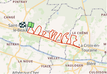

Lengte
22 km

Max. hoogte
104 m

Positief hoogteverschil
329 m
Km-Effort
26 km

Min. hoogte
52 m

Negatief hoogteverschil
330 m
Boucle
Ja
Datum van aanmaak :
2024-10-05 09:35:52.958
Laatste wijziging :
2024-10-05 21:31:45.984
4h45
Moeilijkheid : Medium

Gratisgps-wandelapplicatie
 SityTrail
IGN / Geografische instituten
SityTrail Plus
De wereld gaat voor u open
Over ons
Tocht Stappen van 22 km beschikbaar op Centre-Val de Loire, Indre-et-Loire, Saint-Martin-le-Beau. Deze tocht wordt voorgesteld door Orcal37.
Beschrijving
Saint-Martin-le-Beau - Zig zag - Dierre - Lavoirs - 22km 330m 4h45 (1h) - 2024 10 05
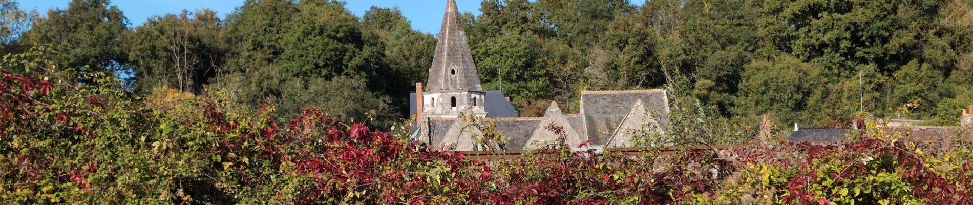
Foto's
 - 2024 10 05 - Photo 1")
 - 2024 10 05 - Photo 2")
 - 2024 10 05 - Photo 3")
 - 2024 10 05 - Photo 4")
 - 2024 10 05 - Photo 5")
 - 2024 10 05 - Photo 6")
 - 2024 10 05 - Photo 7")
 - 2024 10 05 - Photo 8")
 - 2024 10 05 - Photo 9")
 - 2024 10 05 - Photo 10")
 - 2024 10 05 - Photo 11")
 - 2024 10 05 - Photo 12")
Plaatsbepaling
Land:
France
Regio :
Centre-Val de Loire
Departement/Provincie :
Indre-et-Loire
Gemeente :
Saint-Martin-le-Beau
Locatie:
Unknown
Vertrek:(Dec)
Vertrek:(UTM)
342727 ; 5246528 (31T) N.
Opmerkingen