


ot 6 octobre 24

gilbertdu60
Gebruiker

Lengte
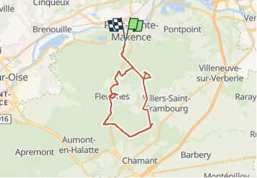
23 km

Max. hoogte
150 m

Positief hoogteverschil
315 m
Km-Effort
27 km

Min. hoogte
85 m

Negatief hoogteverschil
315 m
Boucle
Ja
Datum van aanmaak :
2024-10-05 19:27:48.189
Laatste wijziging :
2024-10-11 16:51:22.144
1h54
Moeilijkheid : Medium

Gratisgps-wandelapplicatie
 SityTrail
IGN / Geografische instituten
SityTrail Plus
De wereld gaat voor u open
Over ons
Tocht Mountainbike van 23 km beschikbaar op Hauts-de-France, Oise, Pont-Sainte-Maxence. Deze tocht wordt voorgesteld door gilbertdu60.
Beschrijving
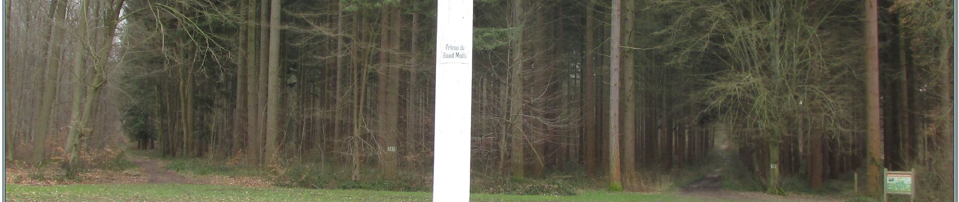
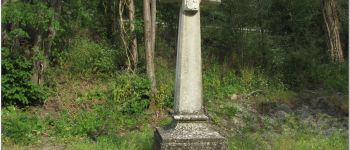
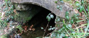
"balade des pierres" en halatte avec l'OT CCPOH
Foto's


Plaatsbepaling
Land:
France
Regio :
Hauts-de-France
Departement/Provincie :
Oise
Gemeente :
Pont-Sainte-Maxence
Locatie:
Unknown
Vertrek:(Dec)
Vertrek:(UTM)
470900 ; 5460269 (31U) N.
Opmerkingen