


liege

PatriceCocuaud
Gebruiker
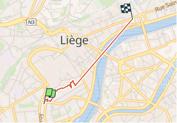

Lengte
2,1 km

Max. hoogte
77 m

Positief hoogteverschil
17 m
Km-Effort
2,3 km

Min. hoogte
63 m

Negatief hoogteverschil
15 m
Boucle
Neen
Datum van aanmaak :
2025-01-03 11:43:20.443
Laatste wijziging :
2025-01-03 13:46:58.674
45m
Moeilijkheid : Heel gemakkelijk

Gratisgps-wandelapplicatie
 SityTrail
IGN / Geografische instituten
SityTrail Plus
De wereld gaat voor u open
Over ons
Tocht Stappen van 2,1 km beschikbaar op Wallonië, Luik, Luik. Deze tocht wordt voorgesteld door PatriceCocuaud.
Plaatsbepaling
Land:
Belgium
Regio :
Wallonië
Departement/Provincie :
Luik
Gemeente :
Luik
Locatie:
Grivegnée
Vertrek:(Dec)
Vertrek:(UTM)
681606 ; 5612715 (31U) N.
Opmerkingen