


Archaeological Way (old route)

SityTrail - itinéraires balisés pédestres
Tous les sentiers balisés d’Europe GUIDE+


5h55
Moeilijkheid : Medium

Gratisgps-wandelapplicatie
 SityTrail
IGN / Geografische instituten
SityTrail Plus
De wereld gaat voor u open
Over ons
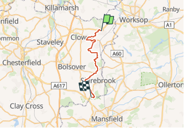
Tocht Te voet van 23 km beschikbaar op Engeland, Derbyshire, Bolsover. Deze tocht wordt voorgesteld door SityTrail - itinéraires balisés pédestres.
Beschrijving
This is the "original" Archaeological Way. See https://wiki.openstreetmap.org/wiki/Nottinghamshire#Long-distance_Paths .
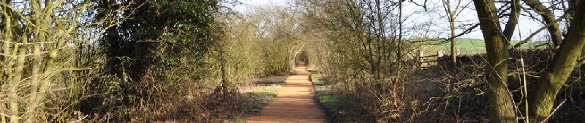
Foto's
 - Photo 1")
 - Photo 2")
 - Photo 3")
 - Photo 4")
 - Photo 5")
 - Photo 6")
 - Photo 7")
 - Photo 8")
 - Photo 9")
 - Photo 10")
Plaatsbepaling
Opmerkingen