


NS Vejrovského zemanství

SityTrail - itinéraires balisés pédestres
Tous les sentiers balisés d’Europe GUIDE+
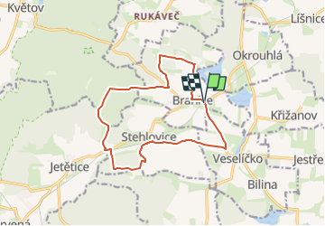

Lengte
13,1 km

Max. hoogte
541 m

Positief hoogteverschil
190 m
Km-Effort
15,6 km

Min. hoogte
454 m

Negatief hoogteverschil
190 m
Boucle
Ja

Markering
Datum van aanmaak :
2025-02-07 01:40:10.223
Laatste wijziging :
2025-02-07 01:40:10.223
3h32
Moeilijkheid : Gemakkelijk

Gratisgps-wandelapplicatie
 SityTrail
IGN / Geografische instituten
SityTrail Plus
De wereld gaat voor u open
Over ons
Tocht Te voet van 13,1 km beschikbaar op Zuidwest, Zuid-Bohemen, Branice. Deze tocht wordt voorgesteld door SityTrail - itinéraires balisés pédestres.
Beschrijving
Tocht aangemaakt door cz:KČT.
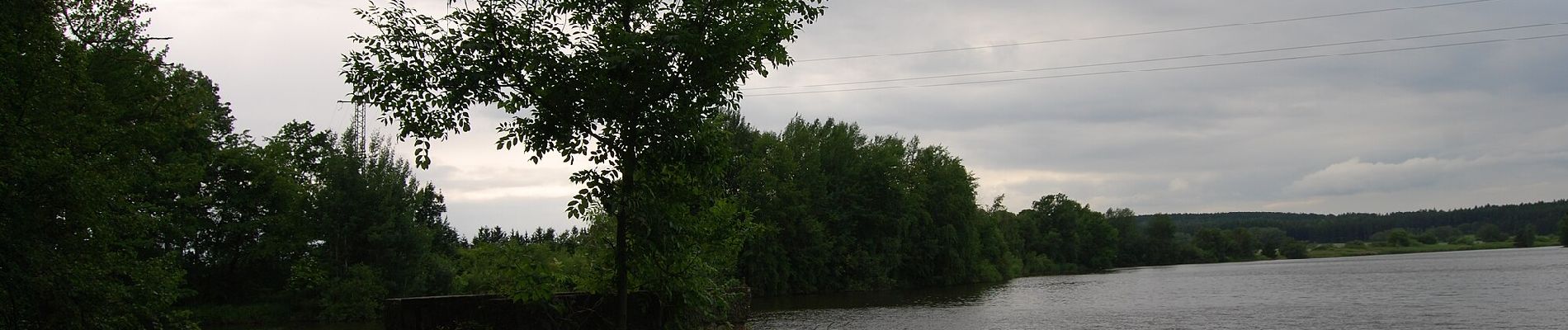
Foto's


Plaatsbepaling
Land:
Czech Republic
Regio :
Zuidwest
Departement/Provincie :
Zuid-Bohemen
Gemeente :
Branice
Locatie:
Unknown
Vertrek:(Dec)
Vertrek:(UTM)
452407 ; 5472322 (33U) N.
Opmerkingen