


Mittelwihr - Zellenberg - Hunawihr - Riquewihr - Nécropole de Sigolsheim.

VacheKiri67
Gebruiker
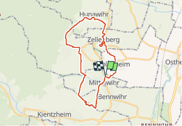

Lengte
14,6 km

Max. hoogte
382 m

Positief hoogteverschil
361 m
Km-Effort
19,4 km

Min. hoogte
209 m

Negatief hoogteverschil
362 m
Boucle
Ja
Datum van aanmaak :
2025-03-02 09:03:26.833
Laatste wijziging :
2025-03-31 16:30:07.82
4h59
Moeilijkheid : Medium

Gratisgps-wandelapplicatie
 SityTrail
IGN / Geografische instituten
SityTrail Plus
De wereld gaat voor u open
Over ons
Tocht Stappen van 14,6 km beschikbaar op Grand Est, Haut-Rhin, Mittelwihr. Deze tocht wordt voorgesteld door VacheKiri67.
Beschrijving
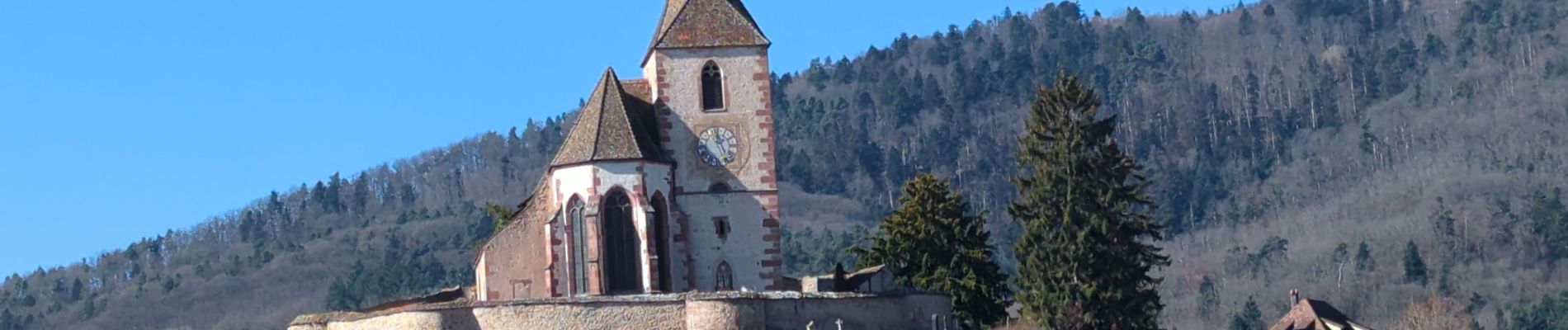
Faite le 02/03/2025 avec nos amis Patrice et Monique.
Au départ de Mittelwihr.
Foto's


Plaatsbepaling
Land:
France
Regio :
Grand Est
Departement/Provincie :
Haut-Rhin
Gemeente :
Mittelwihr
Locatie:
Unknown
Vertrek:(Dec)
Vertrek:(UTM)
375165 ; 5334617 (32U) N.
Opmerkingen