


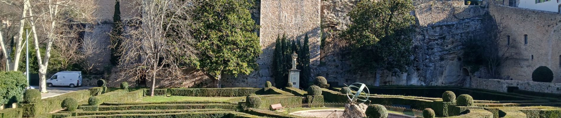
Château d'Entrecasteaux 05-03-2025

Christiancordin
Gebruiker
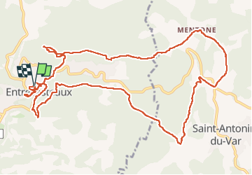

Lengte
15,5 km

Max. hoogte
317 m

Positief hoogteverschil
528 m
Km-Effort
23 km

Min. hoogte
148 m

Negatief hoogteverschil
527 m
Boucle
Ja
Datum van aanmaak :
2025-03-05 08:31:40.422
Laatste wijziging :
2025-03-06 17:48:31.399
4h21
Moeilijkheid : Medium

Gratisgps-wandelapplicatie
 SityTrail
IGN / Geografische instituten
SityTrail Plus
De wereld gaat voor u open
Over ons
Tocht Stappen van 15,5 km beschikbaar op Provence-Alpes-Côte d'Azur, Var, Entrecasteaux. Deze tocht wordt voorgesteld door Christiancordin.
Beschrijving
Entrecasteaux, chapelle Ste Anne, le Défens de Valpeironne, château Mentone, les bastides d'Estelle, pont Ste Catherine, la Bresque, le lavoir.
Foto's


Plaatsbepaling
Land:
France
Regio :
Provence-Alpes-Côte d'Azur
Departement/Provincie :
Var
Gemeente :
Entrecasteaux
Locatie:
Unknown
Vertrek:(Dec)
Vertrek:(UTM)
277106 ; 4821750 (32T) N.
Opmerkingen