


Bira fouché Pyrénées champs vert

sameja
Gebruiker

Lengte
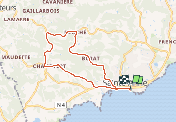
10,6 km

Max. hoogte
115 m

Positief hoogteverschil
212 m
Km-Effort
13,4 km

Min. hoogte
0 m

Negatief hoogteverschil
212 m
Boucle
Ja
Datum van aanmaak :
2025-03-06 09:07:30.0
Laatste wijziging :
2025-03-06 10:38:21.202
1h22
Moeilijkheid : Moeilijk

Gratisgps-wandelapplicatie
 SityTrail
IGN / Geografische instituten
SityTrail Plus
De wereld gaat voor u open
Over ons
Tocht Trail van 10,6 km beschikbaar op Guadeloupe, Onbekend, Sainte-Anne. Deze tocht wordt voorgesteld door sameja.
Beschrijving
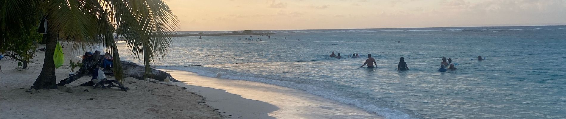
La boucle de st anne
Foto's


Plaatsbepaling
Land:
France
Regio :
Guadeloupe
Departement/Provincie :
Onbekend
Gemeente :
Sainte-Anne
Locatie:
Unknown
Vertrek:(Dec)
Vertrek:(UTM)
672769 ; 1794293 (20Q) N.
Opmerkingen