


Lublé - Meigné-le-Vicomte - 14.1km 70m 3h05 - 2025 04 02

Orcal37
Gebruiker GUIDE
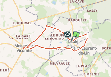

Lengte
14,1 km

Max. hoogte
94 m

Positief hoogteverschil
68 m
Km-Effort
15 km

Min. hoogte
69 m

Negatief hoogteverschil
70 m
Boucle
Ja
Datum van aanmaak :
2025-04-02 11:19:30.719
Laatste wijziging :
2025-04-13 14:26:18.639
3h05
Moeilijkheid : Gemakkelijk

Gratisgps-wandelapplicatie
 SityTrail
IGN / Geografische instituten
SityTrail Plus
De wereld gaat voor u open
Over ons
Tocht Stappen van 14,1 km beschikbaar op Centre-Val de Loire, Indre-et-Loire, Lublé. Deze tocht wordt voorgesteld door Orcal37.
Beschrijving
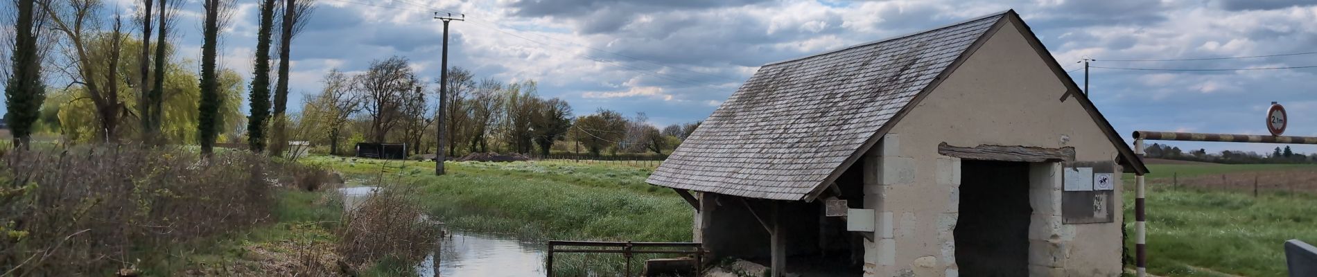
Lublé - Meigné-le-Vicomte via GRP Castelvalérie et PR - 14.1km 70m 3h05 - 2025 04 02
Foto's


Plaatsbepaling
Land:
France
Regio :
Centre-Val de Loire
Departement/Provincie :
Indre-et-Loire
Gemeente :
Lublé
Locatie:
Unknown
Vertrek:(Dec)
Vertrek:(UTM)
292559 ; 5266061 (31T) N.
Opmerkingen