


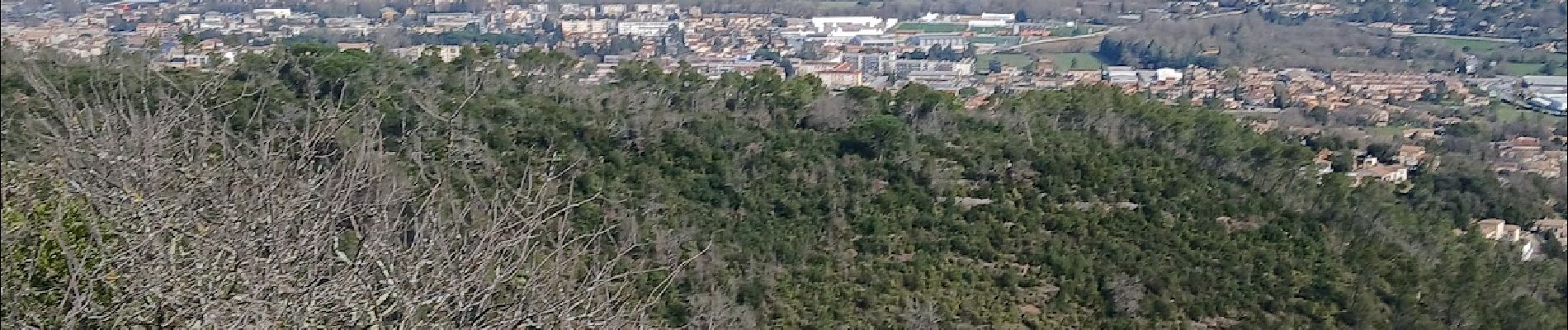
Le rocher du Gueit Camps la Source 28-03-2025

Christiancordin
Gebruiker

Lengte
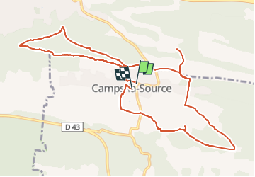
13,4 km

Max. hoogte
435 m

Positief hoogteverschil
325 m
Km-Effort
17,7 km

Min. hoogte
262 m

Negatief hoogteverschil
337 m
Boucle
Ja
Datum van aanmaak :
2025-04-03 16:57:45.682
Laatste wijziging :
2025-04-03 17:06:12.314
5h00
Moeilijkheid : Medium

Gratisgps-wandelapplicatie
 SityTrail
IGN / Geografische instituten
SityTrail Plus
De wereld gaat voor u open
Over ons
Tocht Te voet van 13,4 km beschikbaar op Provence-Alpes-Côte d'Azur, Var, Camps-la-Source. Deze tocht wordt voorgesteld door Christiancordin.
Beschrijving
Départ Pk des écoles- église de Camps la Source, chapelle St Sébastien, vallon de Cardéou, font de Bardel, l'Hospital, chapelle, oratoire St Marc, la Source.
Foto's


Plaatsbepaling
Land:
France
Regio :
Provence-Alpes-Côte d'Azur
Departement/Provincie :
Var
Gemeente :
Camps-la-Source
Locatie:
Unknown
Vertrek:(Dec)
Vertrek:(UTM)
264853 ; 4807757 (32T) N.
Opmerkingen