


Liezey

adamfv
Gebruiker
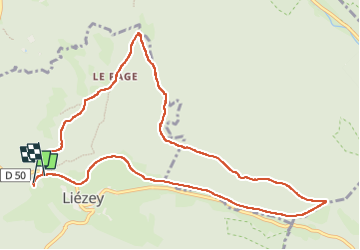

Lengte
10,9 km

Max. hoogte
914 m

Positief hoogteverschil
238 m
Km-Effort
14,1 km

Min. hoogte
773 m

Negatief hoogteverschil
240 m
Boucle
Ja
Datum van aanmaak :
2025-03-31 09:02:34.0
Laatste wijziging :
2025-04-12 15:32:42.554
2h59
Moeilijkheid : Gemakkelijk

Gratisgps-wandelapplicatie
 SityTrail
IGN / Geografische instituten
SityTrail Plus
De wereld gaat voor u open
Over ons
Tocht Stappen van 10,9 km beschikbaar op Grand Est, Vogezen, Liézey. Deze tocht wordt voorgesteld door adamfv.
Plaatsbepaling
Land:
France
Regio :
Grand Est
Departement/Provincie :
Vogezen
Gemeente :
Liézey
Locatie:
Unknown
Vertrek:(Dec)
Vertrek:(UTM)
336023 ; 5329335 (32U) N.
Opmerkingen