


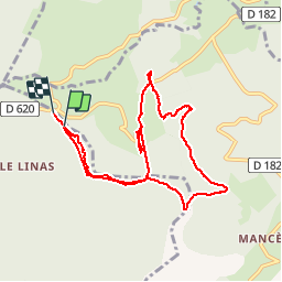

12,9 km | 17,9 km-effort

Gebruiker


Gratisgps-wandelapplicatie
 SityTrail
IGN / Geografische instituten
SityTrail World
De wereld gaat voor u open
Tocht Stappen van 9,6 km beschikbaar op Occitanië, Aude, Lespinassière. Deze tocht wordt voorgesteld door jsaun.
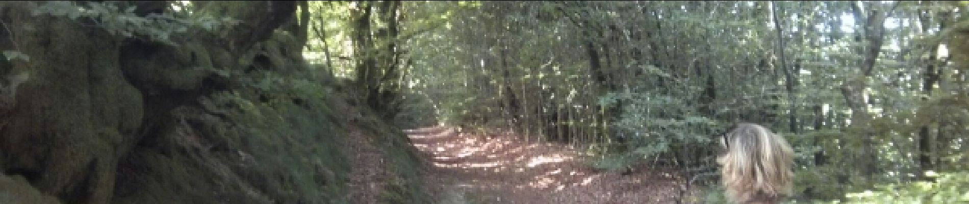
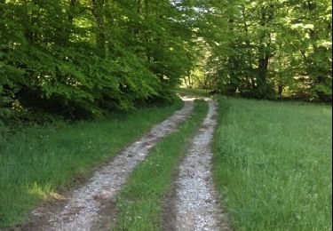
forêt de hêtres, quelques endroits dégager


Stappen
Stappen
Te voet
Stappen
Stappen

Te voet
Elektrische fiets

Andere activiteiten
Lopen
pas balisée et tracé flou