


Nbërlysaj - Col de Thores

GeorgesV.
Gebruiker
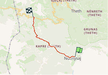

Lengte
8,7 km

Max. hoogte
1692 m

Positief hoogteverschil
1239 m
Km-Effort
21 km

Min. hoogte
488 m

Negatief hoogteverschil
72 m
Boucle
Neen
Datum van aanmaak :
2025-06-01 05:54:59.0
Laatste wijziging :
2025-06-01 12:02:13.469
5h26
Moeilijkheid : Zeer moeilijk

Gratisgps-wandelapplicatie
 SityTrail
IGN / Geografische instituten
SityTrail Plus
De wereld gaat voor u open
Over ons
Tocht Stappen van 8,7 km beschikbaar op Noord-Albanië, Shkodër (prefectuur), Shalë. Deze tocht wordt voorgesteld door GeorgesV..
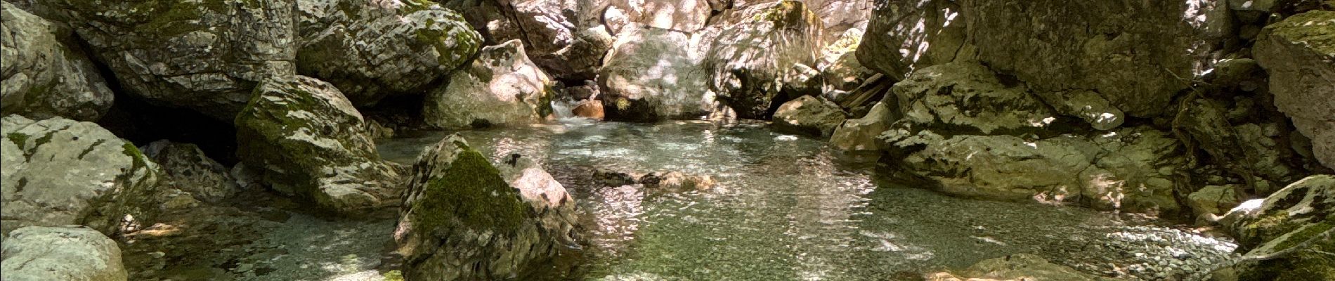
Foto's


Plaatsbepaling
Land:
Albania
Regio :
Noord-Albanië
Departement/Provincie :
Shkodër (prefectuur)
Gemeente :
Shalë
Locatie:
Unknown
Vertrek:(Dec)
Vertrek:(UTM)
399008 ; 4690011 (34T) N.
Opmerkingen