


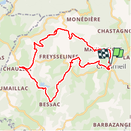

17,8 km | 24 km-effort


Gebruiker


Gratisgps-wandelapplicatie
 SityTrail
IGN / Geografische instituten
SityTrail World
De wereld gaat voor u open
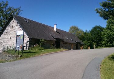
Tocht Stappen van 19,6 km beschikbaar op Nieuw-Aquitanië, Corrèze, Chaumeil. Deze tocht wordt voorgesteld door grageot.
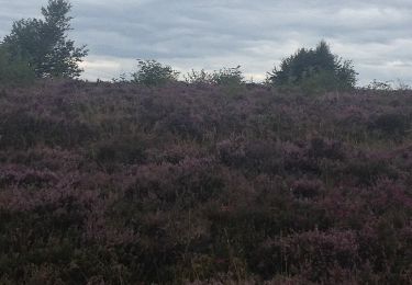
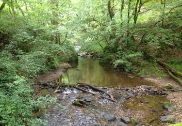
Quelques chemins tracés sur la carte ont disparu.La montée à partir du ruisseau du Goural se fait à travers bois en direct sans difficulté jusqu'à la piste du pylone. Pas de problème jusqu'à la descente finale vers Chaumeil. Descendre dans la forêt dans l'Arial du Bois jusqu'au hameau de Malfont. attention ne pas se laisser embarquer dans la sapinède SE on se retrouve dans un grand roncier infranchissable
Mountainbike

Stappen
Stappen
Stappen
Mountainbike
Mountainbike
Fiets
Stappen
Mountainbike
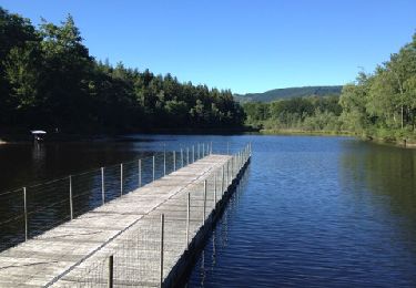
Très agréable rando, toutefois les 2 parties hors sentiers demandent des aptitudes physiques et d'orientation. Merci.