


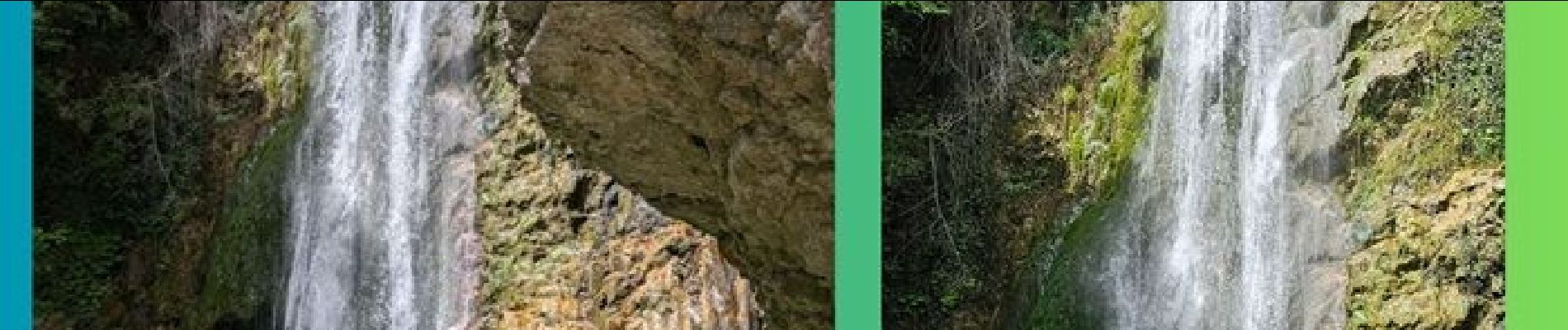
cascade vescagne col de vence

mb83serre
Gebruiker GUIDE

Lengte
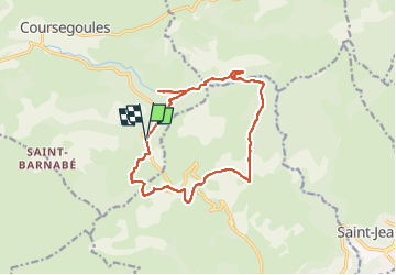
15,1 km

Max. hoogte
968 m

Positief hoogteverschil
547 m
Km-Effort
22 km

Min. hoogte
633 m

Negatief hoogteverschil
547 m
Boucle
Ja
Datum van aanmaak :
2025-06-04 13:24:00.369
Laatste wijziging :
2025-07-02 15:54:08.944
5h05
Moeilijkheid : Moeilijk

Gratisgps-wandelapplicatie
 SityTrail
IGN / Geografische instituten
SityTrail Plus
De wereld gaat voor u open
Over ons
Tocht Stappen van 15,1 km beschikbaar op Provence-Alpes-Côte d'Azur, Alpes-Maritimes, Coursegoules. Deze tocht wordt voorgesteld door mb83serre.
Beschrijving
Parking la Garussière : 43.7683,7.0697
Foto's


Plaatsbepaling
Land:
France
Regio :
Provence-Alpes-Côte d'Azur
Departement/Provincie :
Alpes-Maritimes
Gemeente :
Coursegoules
Locatie:
Unknown
Vertrek:(Dec)
Vertrek:(UTM)
344625 ; 4847973 (32T) N.
Opmerkingen