


tre cime 526m 11.5kms

Danielba
Gebruiker GUIDE
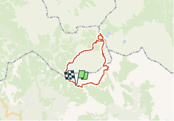

Lengte
11 km

Max. hoogte
2468 m

Positief hoogteverschil
473 m
Km-Effort
17,4 km

Min. hoogte
2168 m

Negatief hoogteverschil
474 m
Boucle
Ja
Datum van aanmaak :
2025-06-05 07:20:07.217
Laatste wijziging :
2025-06-05 14:25:54.321
4h11
Moeilijkheid : Gemakkelijk

Gratisgps-wandelapplicatie
 SityTrail
IGN / Geografische instituten
SityTrail Plus
De wereld gaat voor u open
Over ons
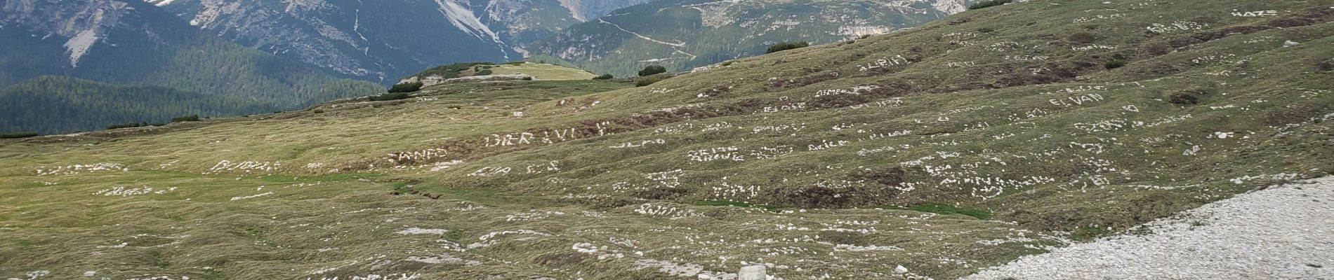
Tocht Stappen van 11 km beschikbaar op Veneto, Belluno, Auronzo di Cadore. Deze tocht wordt voorgesteld door Danielba .
Foto's


Plaatsbepaling
Land:
Italy
Regio :
Veneto
Departement/Provincie :
Belluno
Gemeente :
Auronzo di Cadore
Locatie:
Unknown
Vertrek:(Dec)
Vertrek:(UTM)
292670 ; 5165706 (33T) N.
Opmerkingen