


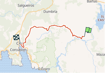
Olveiroa Cee

Vinceneux
Gebruiker

Lengte
20 km

Max. hoogte
376 m

Positief hoogteverschil
284 m
Km-Effort
25 km

Min. hoogte
16 m

Negatief hoogteverschil
541 m
Boucle
Neen
Datum van aanmaak :
2025-06-12 05:41:07.365
Laatste wijziging :
2025-06-12 11:07:57.607
5h17
Moeilijkheid : Zeer moeilijk

Gratisgps-wandelapplicatie
 SityTrail
IGN / Geografische instituten
SityTrail Plus
De wereld gaat voor u open
Over ons
Tocht Stappen van 20 km beschikbaar op Galicië, A Coruña, Dumbría. Deze tocht wordt voorgesteld door Vinceneux.
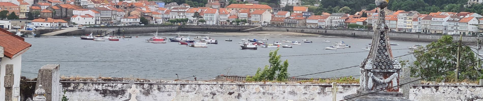
Foto's


23 fotos in totaal. Klik op een foto om ze allemaal in de galerij weer te geven.
Plaatsbepaling
Land:
Spain
Regio :
Galicië
Departement/Provincie :
A Coruña
Gemeente :
Dumbría
Locatie:
Unknown
Vertrek:(Dec)
Vertrek:(UTM)
496923 ; 4757116 (29T) N.
Opmerkingen