


16 km | 21 km-effort


Gebruiker


Gratisgps-wandelapplicatie
 SityTrail
IGN / Geografische instituten
SityTrail World
De wereld gaat voor u open
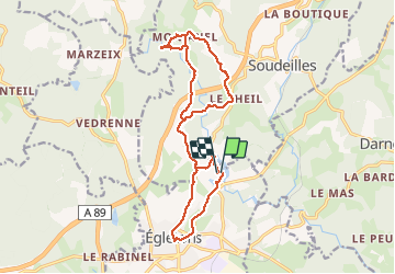
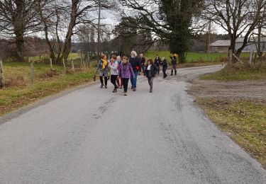
Tocht Mountainbike van 17,8 km beschikbaar op Nieuw-Aquitanië, Corrèze, Égletons. Deze tocht wordt voorgesteld door luclemoing.
Départ du Village Vaccances, avec passage initiatique jusqu'à "Robert"(chemins, route, descente, et montée)
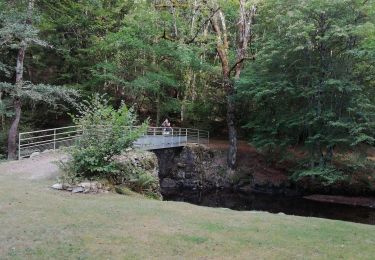
Excursion à MontJanel et les Cascades du Deiro (attention remontée difficile sur Vélo).
Retour sur Egletons et son centre ville
Retour au Lac par la Coulée Verte.
Public en condition ou Tout Public avec pause panoramique obligatoire ;)
Stappen

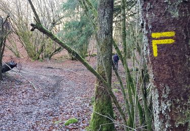
Mountainbike
Stappen
Stappen
Te voet
Stappen

Stappen

Paard

Mountainbike