


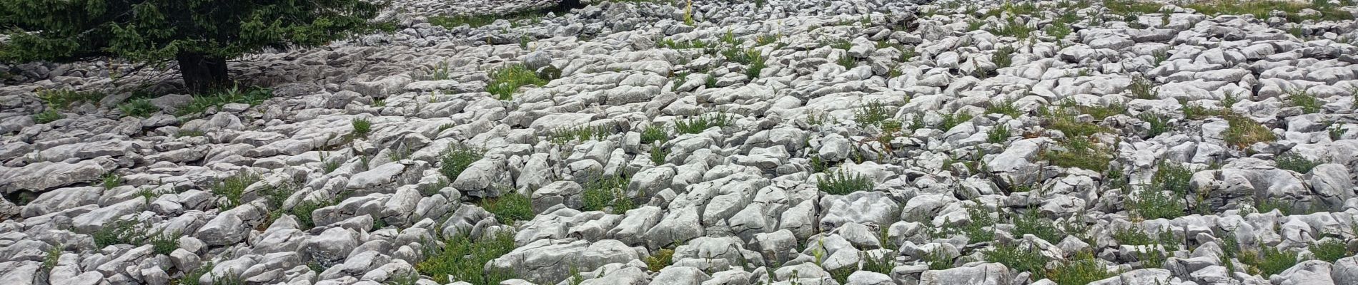
col de la Colombière, Samance table d'orientation

chuck
Gebruiker
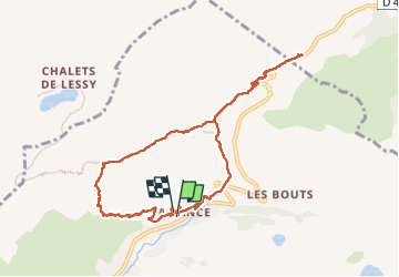

Lengte
9,7 km

Max. hoogte
1615 m

Positief hoogteverschil
473 m
Km-Effort
15,9 km

Min. hoogte
1303 m

Negatief hoogteverschil
463 m
Boucle
Ja
Datum van aanmaak :
2025-07-23 11:45:31.893
Laatste wijziging :
2025-07-23 15:53:50.64
3h48
Moeilijkheid : Gemakkelijk

Gratisgps-wandelapplicatie
 SityTrail
IGN / Geografische instituten
SityTrail Plus
De wereld gaat voor u open
Over ons
Tocht Stappen van 9,7 km beschikbaar op Auvergne-Rhône-Alpes, Haute-Savoie, Le Grand-Bornand. Deze tocht wordt voorgesteld door chuck.
Beschrijving
belle rando facile
Foto's

Plaatsbepaling
Land:
France
Regio :
Auvergne-Rhône-Alpes
Departement/Provincie :
Haute-Savoie
Gemeente :
Le Grand-Bornand
Locatie:
Unknown
Vertrek:(Dec)
Vertrek:(UTM)
302960 ; 5094411 (32T) N.
Opmerkingen