


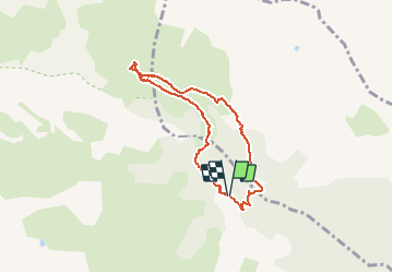

10,1 km | 22 km-effort

Gebruiker


Gratisgps-wandelapplicatie
 SityTrail
IGN / Geografische instituten
SityTrail World
De wereld gaat voor u open
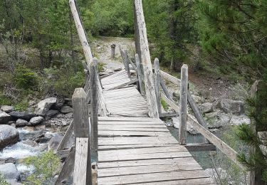
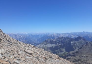
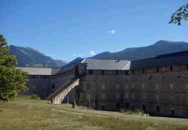
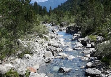
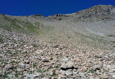
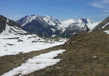
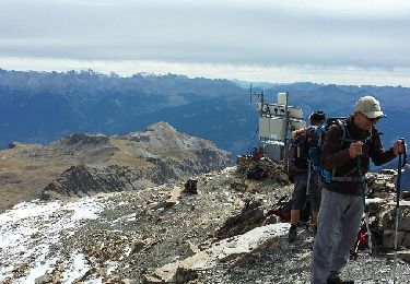
Tocht Stappen van 7,5 km beschikbaar op Provence-Alpes-Côte d'Azur, Hautes-Alpes, Châteauroux-les-Alpes. Deze tocht wordt voorgesteld door BLANCHET.


Ski randonnée
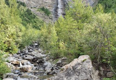
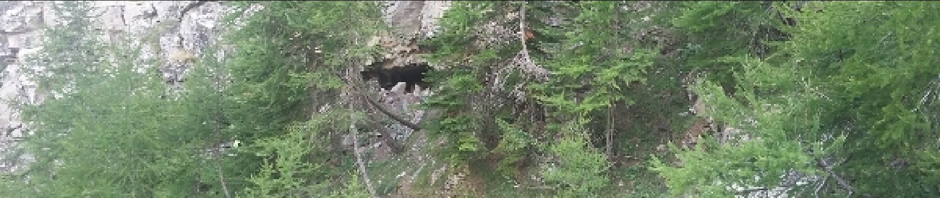
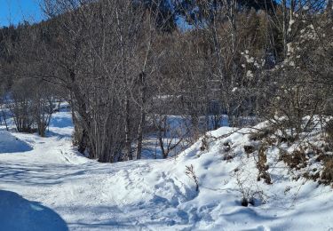
Stappen
Stappen
Stappen
Stappen
Stappen
Stappen
Stappen
Stappen