


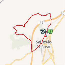
66 SALSES-LE-CHATEAU - Cami dels Orris - boucle dans les. Contreforts des Corbières

jeff66
Gebruiker


1h17
Moeilijkheid : Medium

Gratisgps-wandelapplicatie
 SityTrail
IGN / Geografische instituten
SityTrail Plus
De wereld gaat voor u open
Over ons
Tocht Stappen van 7,8 km beschikbaar op Occitanië, Pyrénées-Orientales, Salses-le-Château. Deze tocht wordt voorgesteld door jeff66.
Beschrijving
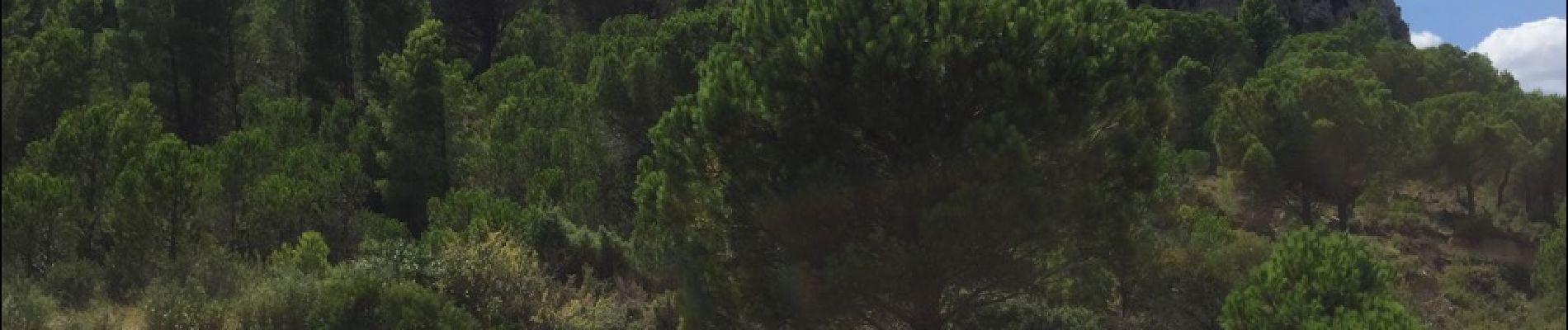
66 SALSES-LE-CHÂTEAU - parking de la cave Coop Arnaud de Villeneuve - fort de SALSES - suivre voie ferrée. Pont sous l'A9 - Combe française - promenade dans les contreforts des corbières - anc.
Carrière - mas Lacombe - passer sous l'A9 pour rejoindre la D5b - résidence la bergerie - cimetîere - Cami del Paroll - square du souvenir français - gare SNCF - caveau du château
Foto's


Plaatsbepaling
Opmerkingen
merci pour la ballade dommage pour. le bruit de l'autoroute