


6,3 km | 8,7 km-effort


Gebruiker


Gratisgps-wandelapplicatie
 SityTrail
IGN / Geografische instituten
SityTrail World
De wereld gaat voor u open
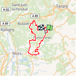
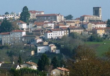
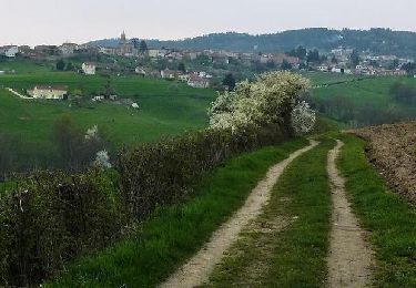
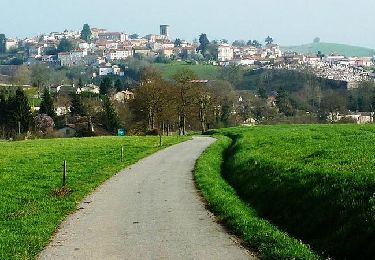
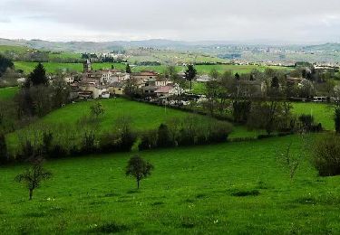
Tocht Mountainbike van 56 km beschikbaar op Auvergne-Rhône-Alpes, Loire, Panissières. Deze tocht wordt voorgesteld door ramsay.
parcours 60 km

Stappen
Stappen
Stappen
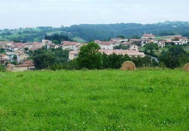
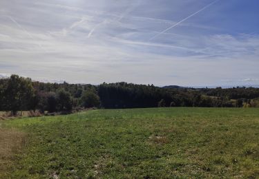
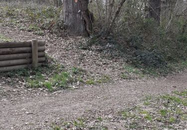
Mountainbike
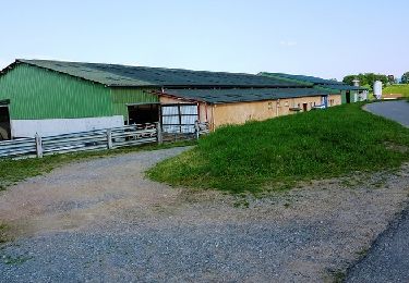
Mountainbike
Mountainbike
Mountainbike
Mountainbike
Mountainbike